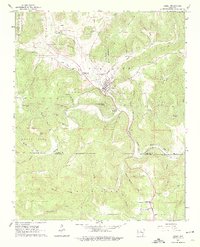
1963 Map of Leslie
USGS Topo · Published 1975About this map
Leslie serves as the primary hub of this Arkansas Ozark landscape, situated where Begley Hollow meets the larger valley of Wileys Cove. The settlement pattern follows the intricate drainage systems of the Middle Fork Little Red River and the Little Red River, with small communities like Noah and Rumley appearing along the waterways and an Old Railroad Grade that snakes through the valley floor. Genealogists will find a high density of family-named landmarks and burial grounds, including Horn Cem, Baldwin Hill Cem, and the Sulphur Springs Cem near Trace Creek. The topography is defined by prominent elevations such as Blue Mountain and Brushy Mountain, while industrial history is marked by a Quarry and a Mine located south of Leslie. This 1963 field-checked survey provides a meticulous record of rural infrastructure, from the Water Tank in town to the Dennard Church at the southern boundary.
Find a feature on this map
58 named features on this map. Tap any name to fly to it.
Don’t see what you’re looking for? This feature index may not catch every label — zoom into the map to look around manually.
Map Details
Editions of this 1963 Leslie Map
2 editions found
Other maps of this area

1892 · Marshall
USGS Topo · 1:125,000

1892 · Mountain View
USGS Topo · 1:125,000

1894 · Mountain View
USGS Topo · 1:125,000

1894 · Marshall
USGS Topo · 1:125,000

1901 · Marshall
USGS Topo · 1:125,000

1956 · Russellville
USGS Topo · 1:250,000
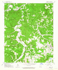
1962 · Marshall
USGS Topo · 1:24,000
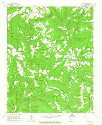
1962 · Canaan
USGS Topo · 1:24,000
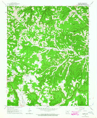
1963 · Harriet
USGS Topo · 1:24,000

1963 · Leslie
USGS Topo · 1:24,000