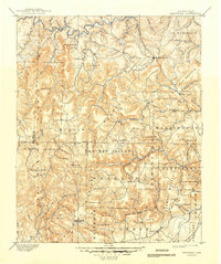
1962 Map of Marshall
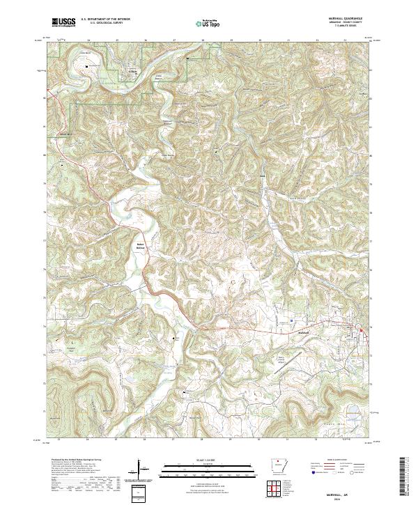
USGS Topo · Published 1964About this map
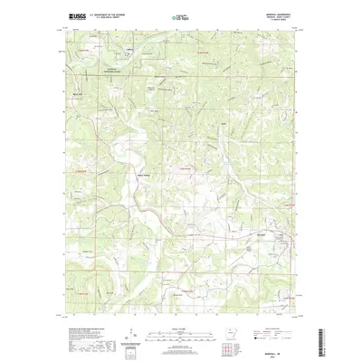
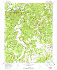
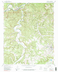
The Buffalo River snakes across the northern edge of this Ozark landscape, where the small riverfront settlement of Gilbert serves as a primary access point. The topography is defined by deeply carved drainage systems, including Bear Creek and Holder Creek, which have created a complex network of hollows such as Blowing Cave and Wheeler Hollow. This 1962 field-checked survey highlights the rural social fabric of Searcy County through numerous family-named landmarks and local institutions, including Canaan Ch and several well-distributed burial grounds like Silver Hill Cem and Horton Cem. Cultural development is concentrated around the town of Marshall, featuring a Radio Tower and sewage infrastructure, while the surrounding hills remain dotted with isolated features like the Gaging Station on the river and the Sulphur Springs to the southwest, illustrating the region's reliance on its natural water sources.
Find a feature on this map
83 named features on this map. Tap any name to fly to it.
Don’t see what you’re looking for? This feature index may not catch every label — zoom into the map to look around manually.
Map Details
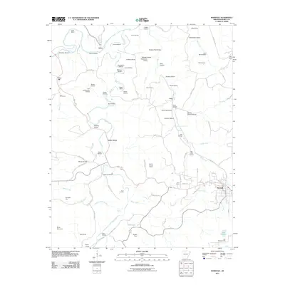
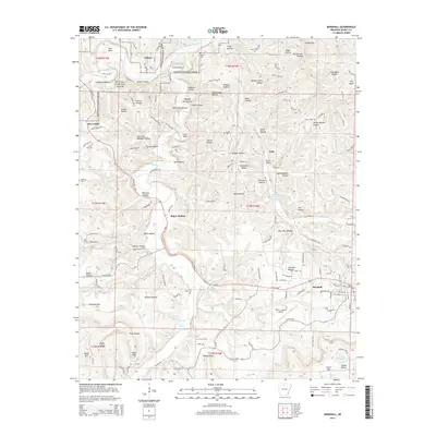
Editions of this 1962 Marshall Map
4 editions found
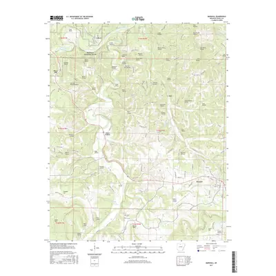
Historical Maps of Marshall Through Time
9 maps found