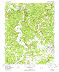
1962 Map of Marshall
USGS Topo · Published 1982About this map
The Buffalo National River winds through the northern portion of this quadrangle, defining a landscape marked by deep bottoms and sharp bends. Near the settlement of Gilbert, a segment of the Missouri and North Arkansas Railroad grade parallels the water, hinting at the river-and-rail economy that once tied these Ozark communities together. The topography is dominated by an intricate system of hollows, including Wheeler Hollow and Rattlesnake Hollow, which served as the primary conduits for local transport and settlement patterns between the ridges.
Find a feature on this map
78 named features on this map. Tap any name to fly to it.
Don’t see what you’re looking for? This feature index may not catch every label — zoom into the map to look around manually.
Map Details
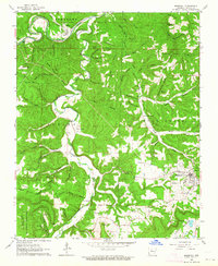
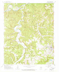
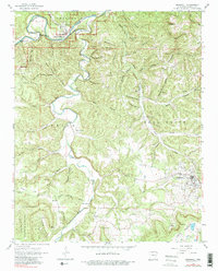
Editions of this 1962 Marshall Map
4 editions found
Other maps of this area

1892 · Marshall
USGS Topo · 1:125,000

1893 · Yellville
USGS Topo · 1:125,000

1894 · Marshall
USGS Topo · 1:125,000

1901 · Marshall
USGS Topo · 1:125,000

1903 · Yellville
USGS Topo · 1:125,000

1905 · Yellville
USGS Topo · 1:125,000

1929 · Yellville
USGS Topo · 1:125,000

1939 · Snowball
USGS Topo · 1:62,500

1941 · Snowball
USGS Topo · 1:62,500

1942 · Snowball
USGS Topo · 1:62,500