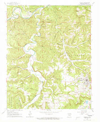
1962 Map of Marshall
USGS Topo · Published 1973About this map
Buffalo River winds through the northern portion of this quadrangle, defining a landscape marked by dramatic bends like Lane Bend and Cedar Bend. In the early 1960s, this area of the Ozarks maintained a rural character where local life centered around remote settlements such as Gilbert and Silver Hill. The transport history of the region is etched into the terrain via the Missouri and North Arkansas RR and an old Railroad Grade that followed the river valley, serving the timber and mineral interests of the day.
Find a feature on this map
86 named features on this map. Tap any name to fly to it.
Don’t see what you’re looking for? This feature index may not catch every label — zoom into the map to look around manually.
Map Details
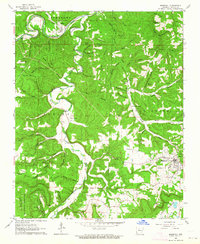
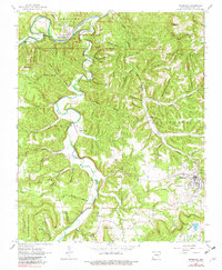
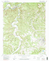
Editions of this 1962 Marshall Map
4 editions found
Other maps of this area

1892 · Marshall
USGS Topo · 1:125,000

1893 · Yellville
USGS Topo · 1:125,000

1894 · Marshall
USGS Topo · 1:125,000

1901 · Marshall
USGS Topo · 1:125,000

1903 · Yellville
USGS Topo · 1:125,000

1905 · Yellville
USGS Topo · 1:125,000

1929 · Yellville
USGS Topo · 1:125,000

1939 · Snowball
USGS Topo · 1:62,500

1941 · Snowball
USGS Topo · 1:62,500

1942 · Snowball
USGS Topo · 1:62,500