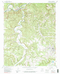
1962 Map of Marshall
USGS Topo · Published 1982About this map
Marshall serves as the primary hub in this Ozark landscape, where the town layout includes a Landing Strip, Radio Tower, and a Sewage Disposal facility. The area is defined by the winding course of the Buffalo National River, which snakes through deep valleys like Lane Bend and Cedar Bend. To the north, the small settlement of Gilbert sits near an Old Railroad Grade that traces the river's path, marking a former transportation corridor. The terrain is deeply dissected by numerous hollows and spring-fed creeks, including Bear Creek and Spring Creek. Smaller communities and named locales such as Silver Hill and Zack are scattered among the ridges. Genealogists will find several family and community burial grounds, including Horton Cem, Silver Hill Cem, and Parks Cem, alongside the Canaan Ch located south of the main township.
Find a feature on this map
95 named features on this map. Tap any name to fly to it.
Don’t see what you’re looking for? This feature index may not catch every label — zoom into the map to look around manually.
Map Details
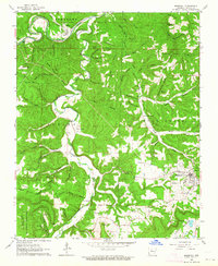
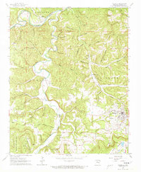
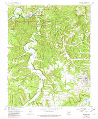
Editions of this 1962 Marshall Map
4 editions found
Other maps of this area

1892 · Marshall
USGS Topo · 1:125,000

1893 · Yellville
USGS Topo · 1:125,000

1894 · Marshall
USGS Topo · 1:125,000

1901 · Marshall
USGS Topo · 1:125,000

1903 · Yellville
USGS Topo · 1:125,000

1905 · Yellville
USGS Topo · 1:125,000

1929 · Yellville
USGS Topo · 1:125,000

1939 · Snowball
USGS Topo · 1:62,500

1941 · Snowball
USGS Topo · 1:62,500

1942 · Snowball
USGS Topo · 1:62,500