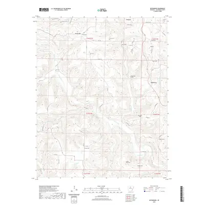
2020 Map of Botkinburg
USGS Topo · Published 2020About this map
Rocky Hill and the settlement of Botkinburg anchor this topographical survey of the Ozark foothills in northern Arkansas. The landscape is defined by its ridge-and-hollow drainage patterns, where Archey Creek and Hartsugg Cr carve through deep terrain features like George Main Hollow and Zack Hollow. For those researching local family history, the map identifies several distinct burial grounds scattered across the township lines, including Lunceford Cem near the northern boundary and Bluffton Cem to the south. A network of rural routes such as Peyton Mountain Rd and Rocky Hill Rd connects these high-elevation communities. The prominence of landmarks like Clinton Mtn and Coppers Knob illustrates the vertical character of the region, providing a detailed record of the upland environment as it appeared in the early 21st century.
Find a feature on this map
72 named features on this map. Tap any name to fly to it.
Don’t see what you’re looking for? This feature index may not catch every label — zoom into the map to look around manually.
Map Details
Editions of this 2020 Botkinburg Map
This is the sole edition of this map. No revisions or reprints were ever made.
Other maps of this area

1892 · Marshall
USGS Topo · 1:125,000

1892 · Mountain View
USGS Topo · 1:125,000

1894 · Mountain View
USGS Topo · 1:125,000

1894 · Marshall
USGS Topo · 1:125,000

1901 · Marshall
USGS Topo · 1:125,000

1956 · Russellville
USGS Topo · 1:250,000
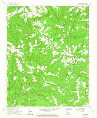
1962 · Canaan
USGS Topo · 1:24,000

1963 · Leslie
USGS Topo · 1:24,000

1964 · Russellville
USGS Topo · 1:250,000
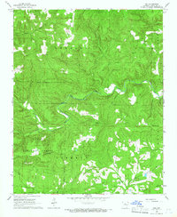
1965 · Rex
USGS Topo · 1:24,000