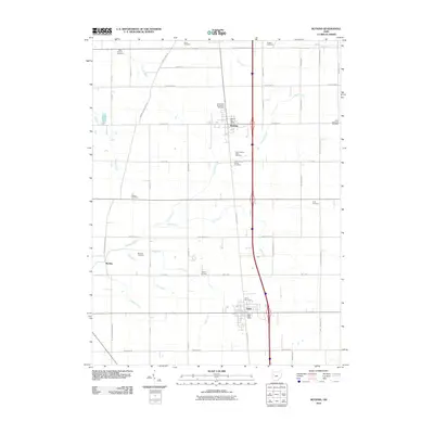
2010 Map of Botkins
USGS Topo · Published 2010About this map
Botkins and Anna anchor this section of Shelby County, where the agricultural landscape of western Ohio is defined by a dense network of country roads and small family cemeteries. The mapping reveals a transition in rural burial traditions, noting sites like the Immaculate Conception Cemetery and the distinct separation between the Old Loramie Valley Cemetery and the New Loramie Valley Cemetery. This area is heavily influenced by the drainage patterns of Loramie Creek and its various tributaries, including Hulls Creek and Clay Creek, which carve through the grid of section lines. Near the small settlement of Rumley, specialized drainage features like Esty Ditch and Keppler Ditch reflect the engineering required to maintain the region's productive farmland. The map also records essential civic centers, such as the Botkins Post Office and the Anna Post Office, which remain central to local identity.
Find a feature on this map
50 named features on this map. Tap any name to fly to it.
Don’t see what you’re looking for? This feature index may not catch every label — zoom into the map to look around manually.
Map Details
Editions of this 2010 Botkins Map
This is the sole edition of this map. No revisions or reprints were ever made.
Other maps of this area

1906 · Lima
USGS Topo · 1:62,500

1909 · Loramie
USGS Topo · 1:62,500

1911 · Loramie
USGS Topo · 1:62,500

1911 · Spencerville
USGS Topo · 1:62,500

1913 · Sidney
USGS Topo · 1:62,500

1944 · Sidney
USGS Topo · 1:62,500

1944 · Loramie
USGS Topo · 1:62,500

1944 · Spencerville
USGS Topo · 1:62,500

1953 · Muncie
USGS Topo · 1:250,000

1956 · Muncie
USGS Topo · 1:250,000