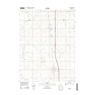
2013 Map of Botkins
USGS Topo · Published 2013About this map
Loramie Creek and its many tributaries, including Muddy Cr and Clear Cr, define the agricultural landscape of this northern Shelby County region. The corridor along Interstate 75 connects the principal settlements of Botkins and Anna, where local life is centered around the village grid and the Post Office. Genealogists will find this particular survey exceptionally valuable for its detailed location of rural burial grounds, including the Old Loramie Valley Cem and New Loramie Valley Cem, as well as the Immaculate Conception Cem. To the west, the small community of Rumley sits near Loramie Creek, surrounded by a network of drainage systems like Esty Ditch and Keppler Ditch that support the surrounding farmland. The map also documents the crossing of the Auglaize and Shelby county line, marking the boundary of several historic townships.
Find a feature on this map
97 named features on this map. Tap any name to fly to it.
Don’t see what you’re looking for? This feature index may not catch every label — zoom into the map to look around manually.
Map Details
Editions of this 2013 Botkins Map
This is the sole edition of this map. No revisions or reprints were ever made.
Other maps of this area

1906 · Lima
USGS Topo · 1:62,500

1909 · Loramie
USGS Topo · 1:62,500

1911 · Loramie
USGS Topo · 1:62,500

1911 · Spencerville
USGS Topo · 1:62,500

1913 · Sidney
USGS Topo · 1:62,500

1944 · Sidney
USGS Topo · 1:62,500

1944 · Loramie
USGS Topo · 1:62,500

1944 · Spencerville
USGS Topo · 1:62,500

1953 · Muncie
USGS Topo · 1:250,000

1956 · Muncie
USGS Topo · 1:250,000