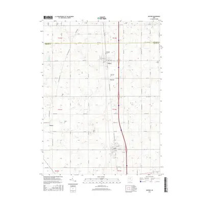
2016 Map of Botkins
USGS Topo · Published 2016About this map
Botkins and Anna anchor this section of West Central Ohio, sitting along a landscape defined by the drainage of Loramie Cr and its numerous tributaries like Hulls Cr and Muddy Cr. The map reveals a dense network of township and county roads that reflect the area’s longstanding agricultural layout, organized into the sections of Shelby and Auglaize counties. Genealogists will find this particular survey especially useful for locating local family burial grounds, as it includes a remarkable number of small, named cemeteries such as Immaculate Conception Cem, New Loramie Valley Cem, and the nearby Old Loramie Valley Cem. The settlement at Rumley remains visible in the west, while the transition between t6s r5e and t7s r6e highlights the systematic land division that has governed the region for generations.
Find a feature on this map
78 named features on this map. Tap any name to fly to it.
Don’t see what you’re looking for? This feature index may not catch every label — zoom into the map to look around manually.
Map Details
Editions of this 2016 Botkins Map
This is the sole edition of this map. No revisions or reprints were ever made.
Other maps of this area

1906 · Lima
USGS Topo · 1:62,500

1909 · Loramie
USGS Topo · 1:62,500

1911 · Loramie
USGS Topo · 1:62,500

1911 · Spencerville
USGS Topo · 1:62,500

1913 · Sidney
USGS Topo · 1:62,500

1944 · Sidney
USGS Topo · 1:62,500

1944 · Loramie
USGS Topo · 1:62,500

1944 · Spencerville
USGS Topo · 1:62,500

1953 · Muncie
USGS Topo · 1:250,000

1956 · Muncie
USGS Topo · 1:250,000