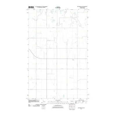
2011 Map of Bottineau SE
USGS Topo · Published 2011About this map
Tarus Cemetery stands as a quiet landmark within this section of Bottineau County, where the agricultural grid is defined by a series of numbered avenues and streets. The terrain is characteristic of the prairie pothole region, dotted with numerous small, unnamed wetlands and depressions that surround Bear Lake in the northern portion of the quadrangle. Moving south, the landscape is bisected by the meandering course of Miller Creek, which drains toward the southeast. This survey captures a moment in the early 21st century when rural infrastructure, such as Glacier Ridge Dr, follows the precise section lines established over a century ago, maintaining the region's long-standing reliance on a sprawling network of farm-to-market roads.
Find a feature on this map
16 named features on this map. Tap any name to fly to it.
Don’t see what you’re looking for? This feature index may not catch every label — zoom into the map to look around manually.
Map Details
Editions of this 2011 Bottineau SE Map
This is the sole edition of this map. No revisions or reprints were ever made.
Other maps of this area

1935 · Dunseith
USGS Topo · 1:48,000

1939 · Dunseith
USGS Topo · 1:62,500

1954 · Omemee
USGS Topo · 1:24,000

1954 · Gardena
USGS Topo · 1:24,000

1954 · Minot
USGS Topo · 1:250,000

1955 · Lords Lake
USGS Topo · 1:24,000

1955 · Overly
USGS Topo · 1:24,000

1955 · Bottineau
USGS Topo · 1:24,000

1955 · Bottineau SE
USGS Topo · 1:24,000

1956 · Metigoshe Lake
USGS Topo · 1:24,000