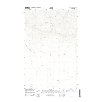
2014 Map of Bottineau SE
USGS Topo · Published 2014About this map
The Turtle Mountains rise across the northern portion of this landscape, creating a distinct upland terrain characterized by small basins and the waters of Bear Lake. This 2014 survey documents the rural character of northern North Dakota, where the transition from the wooded hills to the open plains below is marked by a grid of section-line roads like 18th Ave NE and 97th St NE. In the southern half of the quadrangle, the land flattens as it approaches the drainage of Miller Cr. For genealogists and local historians, the inclusion of Tarsus Cem near the intersection of Nd-5 and 19th Ave NE provides a vital point of reference for the families who settled this border region. The map also traces the primary corridors of Nd-5 and Nd-60, which connect the scattered agricultural homesteads to the wider region.
Find a feature on this map
20 named features on this map. Tap any name to fly to it.
Don’t see what you’re looking for? This feature index may not catch every label — zoom into the map to look around manually.
Map Details
Editions of this 2014 Bottineau SE Map
This is the sole edition of this map. No revisions or reprints were ever made.
Other maps of this area

1935 · Dunseith
USGS Topo · 1:48,000

1939 · Dunseith
USGS Topo · 1:62,500

1954 · Omemee
USGS Topo · 1:24,000

1954 · Gardena
USGS Topo · 1:24,000

1954 · Minot
USGS Topo · 1:250,000

1955 · Lords Lake
USGS Topo · 1:24,000

1955 · Overly
USGS Topo · 1:24,000

1955 · Bottineau
USGS Topo · 1:24,000

1955 · Bottineau SE
USGS Topo · 1:24,000

1956 · Metigoshe Lake
USGS Topo · 1:24,000