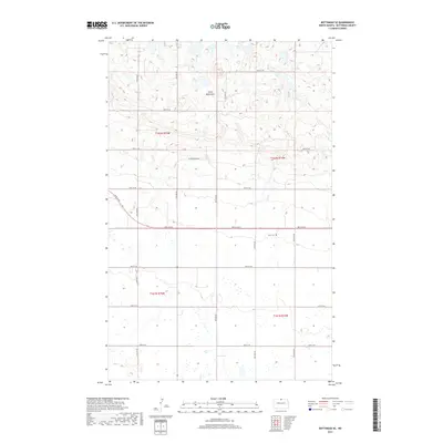
2017 Map of Bottineau SE
USGS Topo · Published 2017About this map
Turtle Mountains dominate the northern landscape of this Bottineau County quadrangle, where the terrain breaks into the high, rolling character of this distinctive landform. This 2017 study illustrates the transition from the wooded uplands of the north into the lower, pothole-dotted plains to the south. Central to the rural landscape is Tarus Cem, a site of genealogical significance located just north of 96th St NE. The map tracks the drainage patterns and water features essential to the region's ecology, including Bear Lake in the north and the meandering Miller Cr in the southeast. A grid of section roads like 95th St NE and named routes such as Glacier Ridge Dr define the agricultural boundaries of this borderland territory, documenting the modern footprint of land use in North Dakota.
Find a feature on this map
17 named features on this map. Tap any name to fly to it.
Don’t see what you’re looking for? This feature index may not catch every label — zoom into the map to look around manually.
Map Details
Editions of this 2017 Bottineau SE Map
This is the sole edition of this map. No revisions or reprints were ever made.
Other maps of this area

1935 · Dunseith
USGS Topo · 1:48,000

1939 · Dunseith
USGS Topo · 1:62,500

1954 · Omemee
USGS Topo · 1:24,000

1954 · Gardena
USGS Topo · 1:24,000

1954 · Minot
USGS Topo · 1:250,000

1955 · Lords Lake
USGS Topo · 1:24,000

1955 · Overly
USGS Topo · 1:24,000

1955 · Bottineau
USGS Topo · 1:24,000

1955 · Bottineau SE
USGS Topo · 1:24,000

1956 · Metigoshe Lake
USGS Topo · 1:24,000