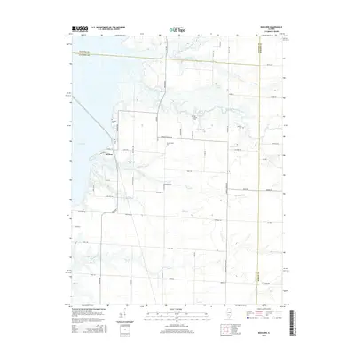
2015 Map of Boulder
USGS Topo · Published 2015About this map
Boulder sits near the eastern edge of Carlyle Lake, serving as a central point for this rural landscape where Clinton, Fayette, and Marion counties meet. The area is defined by the winding paths of the East Fork Kaskaskia River and several smaller tributaries like Brewster Cr and Coles Cr. Genealogists will find a significant concentration of family-named burial grounds, including Pritchett Cem, Clark Cem, Brewster Cem, and both the Old Carter and New Carter cemeteries. These locations, alongside Prairie Chapel Cem and Ebenezer Cem, suggest long-established family ties to the land. The presence of Watson Springs and Weiss Lake highlights the local water resources that have shaped the agricultural and social life of this Illinois interior. The network of rural roads like Diamond Springs RD and Boulder RD connects these historical landmarks across the undulating terrain.
Find a feature on this map
62 named features on this map. Tap any name to fly to it.
Don’t see what you’re looking for? This feature index may not catch every label — zoom into the map to look around manually.
Map Details
Editions of this 2015 Boulder Map
This is the sole edition of this map. No revisions or reprints were ever made.
Other maps of this area

1910 · Carlyle
USGS Topo · 1:62,500

1914 · Centralia
USGS Topo · 1:62,500

1932 · Greenville
USGS Topo · 1:62,500

1935 · Centralia
USGS Topo · 1:62,500

1939 · Greenville
USGS Topo · 1:62,500

1943 · Greenville
USGS Topo · 1:62,500

1945 · Vandalia
USGS Topo · 1:62,500

1947 · Vandalia
USGS Topo · 1:62,500

1948 · Carlyle
USGS Topo · 1:62,500

1958 · Belleville
USGS Topo · 1:250,000