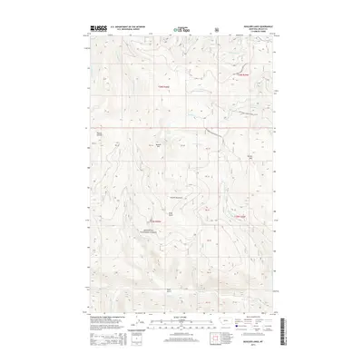
2014 Map of Boulder Lakes
USGS Topo · Published 2014About this map
The Purcell Mountains dominate this high-elevation landscape within the Kootenai National Forest of northwestern Montana. This 2014 survey captures a wilderness area defined by significant peaks and drainage systems, including Purcell Summit and Boulder Mtn. The watershed is divided into numerous named drainages such as Porcupine Cr, Good Cr, and the various forks of Big Cr and Boulder Cr.
Find a feature on this map
26 named features on this map. Tap any name to fly to it.
Don’t see what you’re looking for? This feature index may not catch every label — zoom into the map to look around manually.
Map Details
Editions of this 2014 Boulder Lakes Map
This is the sole edition of this map. No revisions or reprints were ever made.
Other maps of this area

1957 · Kalispell
USGS Topo · 1:250,000

1960 · Kalispell
USGS Topo · 1:250,000

1961 · Kalispell
USGS Topo · 1:250,000

1963 · Robinson Mountain
USGS Topo · 1:24,000

1963 · Pink Mountain
USGS Topo · 1:24,000

1963 · Red Mountain
USGS Topo · 1:24,000

1963 · Webb Mountain
USGS Topo · 1:24,000

1963 · Boulder Lakes
USGS Topo · 1:24,000
1963 · Inch Mountain
USGS Topo · 1:24,000

1963 · Mount Henry
USGS Topo · 1:24,000