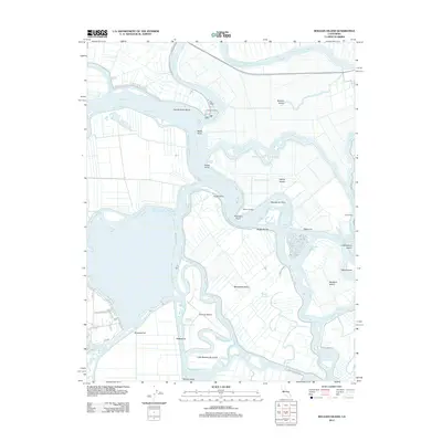
2012 Map of Bouldin Island
USGS Topo · Published 2012About this map
Bouldin Island and the surrounding labyrinth of the California Delta are defined by a complex network of levees, reclaimed land, and waterways in this early 21st-century survey. The landscape is a patchwork of large islands such as Venice Island and Mandeville Island, separated by managed channels including Venice Cut and Holland Cut. This geography illustrates the intensive water management required to maintain these agricultural tracts below the water level of the San Joaquin River and Mokelumne River. Small hubs of activity like Central Landing and the Venice Ferry crossing provide the primary points of access in an area otherwise dominated by field patterns and sloughs. Named reaches like Webb Reach and Mandeville Reach highlight the importance of these waterways as navigable corridors for the region's river-based transport and irrigation systems.
Find a feature on this map
55 named features on this map. Tap any name to fly to it.
Don’t see what you’re looking for? This feature index may not catch every label — zoom into the map to look around manually.
Map Details
Editions of this 2012 Bouldin Island Map
This is the sole edition of this map. No revisions or reprints were ever made.
Other maps of this area

1894 · Lodi
USGS Topo · 1:125,000

1910 · New Hope
USGS Topo · 1:31,680

1910 · Rio Vista
USGS Topo · 1:31,680

1910 · Bouldin
USGS Topo · 1:31,680

1910 · Jersey
USGS Topo · 1:31,680

1910 · Headreach
USGS Topo · 1:31,680

1910 · Isleton
USGS Topo · 1:31,680

1913 · Woodward Island
USGS Topo · 1:31,680

1913 · Holt
USGS Topo · 1:31,680

1914 · Brentwood
USGS Topo · 1:31,680