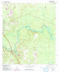
1970 Map of Boulogne
USGS Topo · Published 1992About this map
The winding St Marys River serves as the central artery of this borderland, defining the boundary between Georgia and Florida. This survey, updated with revisions from the early 1990s, documents the rural corridor surrounding Folkston and Boulogne. The landscape is dominated by a dense network of river landings used for local access and commerce, such as Cooneys Landing, Walkers Landing, and Prospect Landing.
Find a feature on this map
33 named features on this map. Tap any name to fly to it.
Don’t see what you’re looking for? This feature index may not catch every label — zoom into the map to look around manually.
Map Details
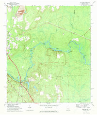
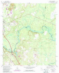
Editions of this 1970 Boulogne Map
3 editions found
Other maps of this area

1917 · Boulogne
USGS Topo · 1:62,500

1917 · Hilliard
USGS Topo · 1:62,500

1918 · Folkston
USGS Topo · 1:62,500

1918 · Moniac
USGS Topo · 1:62,500

1919 · Hilliard
USGS Topo · 1:62,500

1919 · Boulogne
USGS Topo · 1:62,500

1942 · Moniac
USGS Topo · 1:62,500

1948 · Jacksonville
USGS Topo · 1:250,000

1954 · Valdosta
USGS Topo · 1:250,000

1957 · Jacksonville
USGS Topo · 1:250,000