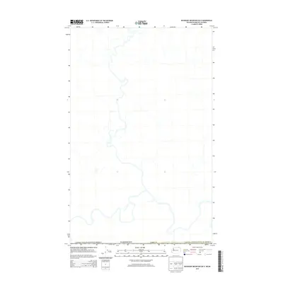
2014 Map of Boundary Mountain OE N
USGS Topo · Published 2014About this map
The international border between Canada and the United States of America defines this northernmost landscape of Ferry Co, Washington. This 2014 survey focuses on a remote drainage network where numerous creeks and seasonal streams flow through the high country south of the 49th parallel. The map documents the physical boundary line and the primary road network connecting this high-elevation region to the interior of Washington State. Without the presence of established towns or named settlements on this specific sheet, the focus remains on the hydrography and the political division between two nations in the Pacific Northwest backcountry.
Find a feature on this map
3 named features on this map. Tap any name to fly to it.
Don’t see what you’re looking for? This feature index may not catch every label — zoom into the map to look around manually.
Map Details
Editions of this 2014 Boundary Mountain OE N Map
This is the sole edition of this map. No revisions or reprints were ever made.
Other maps of this area

1904 · Republic
USGS Topo · 1:125,000

1936 · Marcus
USGS Topo · 1:96,000

1942 · Marcus
USGS Topo · 1:125,000

1948 · Curlew
USGS Topo · 1:62,500

1948 · Togo Mountain
USGS Topo · 1:62,500

1951 · Togo Mountain
USGS Topo · 1:62,500

1951 · Curlew
USGS Topo · 1:62,500

1954 · Okanogan
USGS Topo · 1:250,000

1958 · Okanogan
USGS Topo · 1:250,000
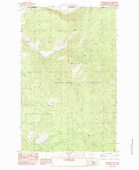
1983 · Boundary Mtn
USGS Topo · 1:24,000