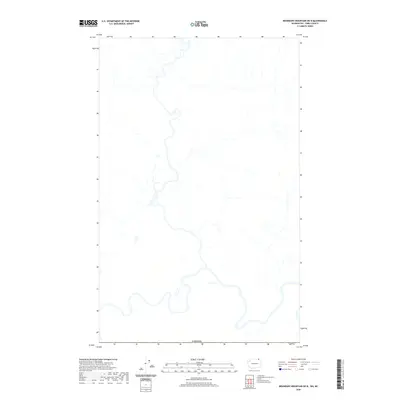
2020 Map of Boundary Mountain OE N
USGS Topo · Published 2020About this map
The international border with Canada defines the northern edge of this 2020 topographic survey, documenting a complex system of river meanders and drainage basins. The landscape is dominated by the winding path of a major river and its intricate network of tributaries that crisscross the terrain before flowing northward across the national boundary. Without mapped roads or named settlements on this particular sheet, the focus remains entirely on the natural hydrography and the physical topography of the borderlands. The detailed contour lines and wetland markers illustrate the environmental transition from the high-latitude mountains toward the northern valley floors, offering a clear record of the watershed as it appeared in the early twenty-first century.
Find a feature on this map
1 named feature on this map. Tap any name to fly to it.
Don’t see what you’re looking for? This feature index may not catch every label — zoom into the map to look around manually.
Map Details
Editions of this 2020 Boundary Mountain OE N Map
This is the sole edition of this map. No revisions or reprints were ever made.
Other maps of this area

1904 · Republic
USGS Topo · 1:125,000

1936 · Marcus
USGS Topo · 1:96,000

1942 · Marcus
USGS Topo · 1:125,000

1948 · Curlew
USGS Topo · 1:62,500

1948 · Togo Mountain
USGS Topo · 1:62,500

1951 · Togo Mountain
USGS Topo · 1:62,500

1951 · Curlew
USGS Topo · 1:62,500

1954 · Okanogan
USGS Topo · 1:250,000

1958 · Okanogan
USGS Topo · 1:250,000
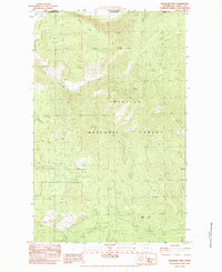
1983 · Boundary Mtn
USGS Topo · 1:24,000