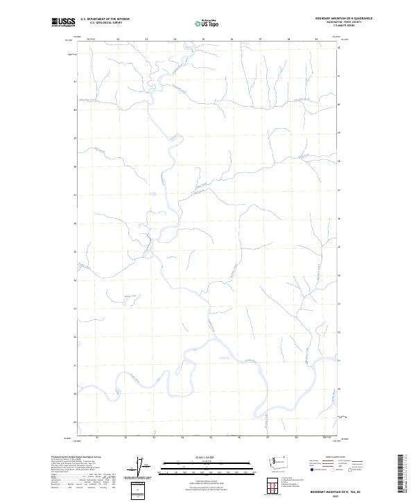
2023 Map of Boundary Mountain OE N
USGS Topo · Published 2023About this map
The Kettle River meanders across the southern portion of this landscape, its winding course defining the geography near the northern border of Ferry County. This 2023 survey illustrates a wilderness interface where the Granby River flows southward to meet the Kettle, creating a significant drainage network for the surrounding mountain slopes. Smaller tributaries like Snowball Creek, Sand Creek, and Morrissey Creek feed into these larger arteries from the east, while Neff Creek and Hardy Creek drain the western terrain. The presence of Wards Lake provides a distinct hydrological feature amidst the creek systems. This map is a modern representation of the rugged northern Washington landscape, showing the persistent natural boundaries shaped by water and elevation in a region characterized by its remote river valleys.
Find a feature on this map
12 named features on this map. Tap any name to fly to it.
Don’t see what you’re looking for? This feature index may not catch every label — zoom into the map to look around manually.
Map Details
Editions of this 2023 Boundary Mountain OE N Map
This is the sole edition of this map. No revisions or reprints were ever made.
Other maps of this area

1904 · Republic
USGS Topo · 1:125,000

1936 · Marcus
USGS Topo · 1:96,000

1942 · Marcus
USGS Topo · 1:125,000

1948 · Curlew
USGS Topo · 1:62,500

1948 · Togo Mountain
USGS Topo · 1:62,500

1951 · Togo Mountain
USGS Topo · 1:62,500

1951 · Curlew
USGS Topo · 1:62,500

1954 · Okanogan
USGS Topo · 1:250,000

1958 · Okanogan
USGS Topo · 1:250,000
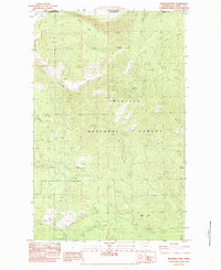
1983 · Boundary Mtn
USGS Topo · 1:24,000