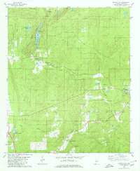
1980 Map of Bounds Lake
USGS Topo · Published 1980About this map
Shelby Springs and the surrounding Shelby County countryside are characterized by a mix of historic institutional sites and rugged topography. The presence of the Old Soldiers Cem and multiple rural houses of worship like Pilgrim Rest Ch, Wildwood Chapel, and Summer Hill Ch point to a long-established community structure. The landscape is defined by the sharp rise of Stony Ridge and Locust Ridge, which overlook the waters of Bounds Lake and Four Wing Lake.
Find a feature on this map
30 named features on this map. Tap any name to fly to it.
Don’t see what you’re looking for? This feature index may not catch every label — zoom into the map to look around manually.
Map Details
Editions of this 1980 Bounds Lake Map
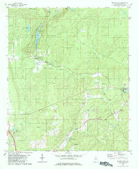
2 editions found
Other maps of this area

1890 · Bessemer
USGS Topo · 1:125,000

1892 · Bessemer
USGS Topo · 1:125,000

1905 · Bessemer Iron District
USGS Topo · 1:62,500

1906 · Vandiver
USGS Topo · 1:62,500

1907 · Bessemer Special
USGS Topo · 1:62,500

1908 · Vandiver
USGS Topo · 1:62,500

1909 · Columbiana
USGS Topo · 1:62,500

1910 · Montevallo
USGS Topo · 1:62,500

1911 · Columbiana
USGS Topo · 1:62,500

1953 · Birmingham
USGS Topo · 1:250,000