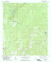
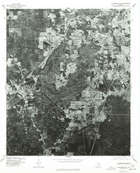
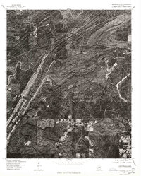
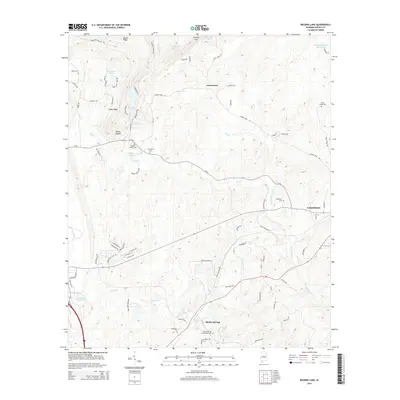
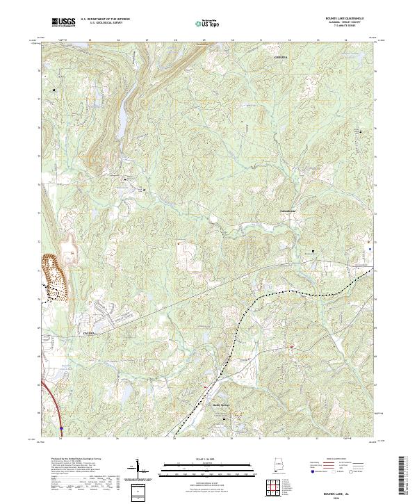
1980 Map of Bounds Lake
USGS Topo · Published 1984About this map
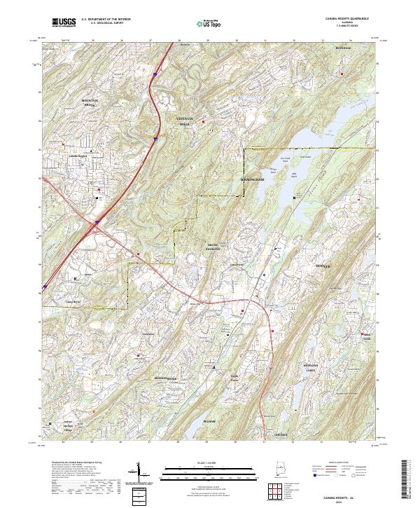
Locust Ridge and Stony Ridge define the topography of this Shelby County landscape, where the Southern railroad line cuts through the southern valleys. The map documents a rural transition during the mid-1970s, featuring specialized sites like the Rolling Hills Camp and the Vocational Sch. Local history and genealogy are well-represented by several family and community landmarks, including Nearest Grave Cem, Blackmon Cem, and the notable Old Soldiers Cem.
Find a feature on this map
27 named features on this map. Tap any name to fly to it.
Don’t see what you’re looking for? This feature index may not catch every label — zoom into the map to look around manually.
Map Details
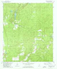
Editions of this 1980 Bounds Lake Map
2 editions found
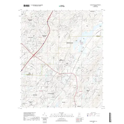
Historical Maps of Alabaster Through Time
20 maps found
1959 Cahaba Heights
Shelby County, AL
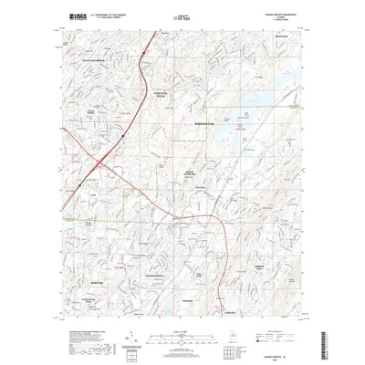
1975 Cahaba Heights
Shelby County, AL
1975 Columbiana NE
Shelby County, AL
1975 Columbiana NW
Shelby County, AL
1975 Columbiana SE
Shelby County, AL
1975 Montevallo NE
Shelby County, AL
1975 Montevallo NW
Shelby County, AL
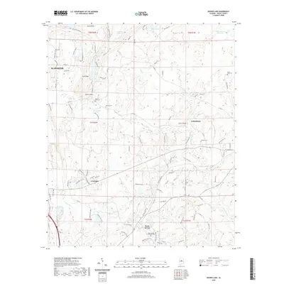
1980 Bounds Lake
Shelby County, AL
1984 Birmingham South
Shelby County, AL
1998 Cahaba Heights
Shelby County, AL
2011 Bounds Lake
Shelby County, AL
2011 Cahaba Heights
Shelby County, AL
2014 Bounds Lake
Shelby County, AL
2014 Cahaba Heights
Shelby County, AL
2018 Bounds Lake
Shelby County, AL
2018 Cahaba Heights
Shelby County, AL
2020 Bounds Lake
Shelby County, AL
2020 Cahaba Heights
Shelby County, AL
2024 Bounds Lake
Shelby County, AL
2024 Cahaba Heights
Shelby County, AL