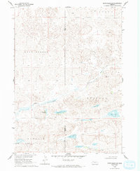
1969 Map of Bovee Valley East
USGS Topo · Published 1993About this map
The Snake River meanders through a landscape defined by isolated water bodies and expansive rangelands along the border of Sheridan and Cherry counties. Surveyed in the late 1960s, this area reflects the traditional Sandhills cattle country, where land divisions such as Lavaca, East Gordon, Russell, and Kincaid indicate the historical township and range organization of Nebraska's interior.
Find a feature on this map
12 named features on this map. Tap any name to fly to it.
Don’t see what you’re looking for? This feature index may not catch every label — zoom into the map to look around manually.
Map Details
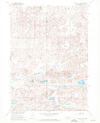
Editions of this 1969 Bovee Valley East Map
2 editions found
Other maps of this area

1948 · Spade Ranch
USGS Topo · 1:62,500

1949 · Turpin Lake
USGS Topo · 1:62,500

1950 · Spade Ranch
USGS Topo · 1:62,500

1951 · Gypsy Valley
USGS Topo · 1:62,500

1951 · Turpin Lake
USGS Topo · 1:62,500

1955 · Alliance
USGS Topo · 1:250,000

1957 · Alliance
USGS Topo · 1:250,000

1957 · Valentine
USGS Topo · 1:250,000

1958 · Alliance
USGS Topo · 1:250,000

1959 · Valentine
USGS Topo · 1:250,000