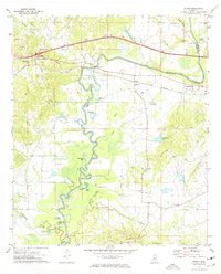
1972 Map of Bovina
USGS Topo · Published 1974About this map
Big Black River meanders sharply along the border of Warren and Hinds Counties, defining a landscape of oxbows and swampy lowlands. The winding watercourse creates several distinct water bodies, including Horseshoe Lake, Gibbs Lake, and the aptly named Little Horseshoe Lake. Higher ground is marked by small rural settlements and religious centers such as Bovina and Smiths. The map records an interesting point of institutional history with the site of the Mt Beulah College (Abandoned) near the eastern edge.
Find a feature on this map
44 named features on this map. Tap any name to fly to it.
Don’t see what you’re looking for? This feature index may not catch every label — zoom into the map to look around manually.
Map Details
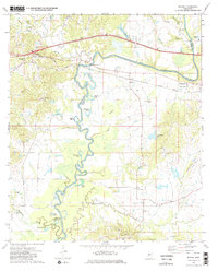
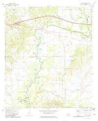
Editions of this 1972 Bovina Map
3 editions found
Other maps of this area

1918 · Vicksburg
USGS Topo · 1:62,500

1938 · Edwards
USGS Topo · 1:62,500

1939 · Yokena
USGS Topo · 1:62,500

1941 · Vicksburg
USGS Topo · 1:62,500

1955 · Jackson
USGS Topo · 1:250,000

1961 · Jackson
USGS Topo · 1:250,000

1962 · Jackson
USGS Topo · 1:250,000

1962 · Redwood
USGS Topo · 1:24,000

1962 · Vicksburg East
USGS Topo · 1:24,000
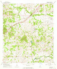
1963 · Learned
USGS Topo · 1:24,000