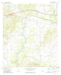
1972 Map of Bovina
USGS Topo · Published 1982About this map
The winding Big Black River serves as the prominent natural boundary between Warren and Hinds Counties, defining a landscape of oxbow lakes and bottomlands. Significant water bodies such as Horseshoe Lake, Gin Lake, and Tent Lake mark the former path of the river, while Fourteenmile Creek and Belches Bayou drain the eastern lowlands. This era of the early 1970s shows a rural landscape anchored by small community centers and country churches, including Mt Hebron Ch, Morning Star Ch, and Bethlehem Ch.
Find a feature on this map
46 named features on this map. Tap any name to fly to it.
Don’t see what you’re looking for? This feature index may not catch every label — zoom into the map to look around manually.
Map Details
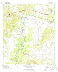
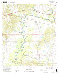
Editions of this 1972 Bovina Map
3 editions found
Other maps of this area

1918 · Vicksburg
USGS Topo · 1:62,500

1938 · Edwards
USGS Topo · 1:62,500

1939 · Yokena
USGS Topo · 1:62,500

1941 · Vicksburg
USGS Topo · 1:62,500

1955 · Jackson
USGS Topo · 1:250,000

1961 · Jackson
USGS Topo · 1:250,000

1962 · Jackson
USGS Topo · 1:250,000

1962 · Redwood
USGS Topo · 1:24,000

1962 · Vicksburg East
USGS Topo · 1:24,000
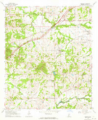
1963 · Learned
USGS Topo · 1:24,000