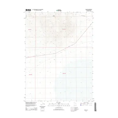
2014 Map of Bovine
USGS Topo · Published 2014About this map
The Bovine Mountains dominate the northern terrain of this section of Box Elder County, where the high desert landscape meets historic travel corridors. The area is defined by its isolation and its role as a transit point, centered on the location of Bovine. Historically, this region served as a crossing for those moving through the northern reaches of the Great Salt Lake Desert. The map traces the path of Emigrant Pass Rd, a name that evokes the mid-19th-century westward migration. Water is a critical and sparse resource here, represented by Bull Springs in the southern portion of the quadrangle. Modern infrastructure is limited to the diagonal stretch of Ut-30, which cuts across the central flats, and Devils Playground Rd winding through the northeastern corner near the mountain slopes.
Find a feature on this map
11 named features on this map. Tap any name to fly to it.
Don’t see what you’re looking for? This feature index may not catch every label — zoom into the map to look around manually.
Map Details
Editions of this 2014 Bovine Map
This is the sole edition of this map. No revisions or reprints were ever made.
Other maps of this area

1954 · Brigham City
USGS Topo · 1:250,000

1958 · Brigham City
USGS Topo · 1:250,000

1962 · Brigham City
USGS Topo · 1:250,000
1967 · Pigeon Mountain
USGS Topo · 1:24,000
1967 · Lucin NE
USGS Topo · 1:24,000
1971 · Prohibition Spring
USGS Topo · 1:24,000
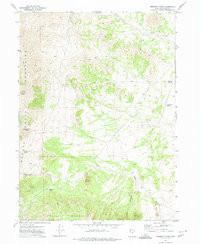
1971 · Emigrant Pass
USGS Topo · 1:24,000
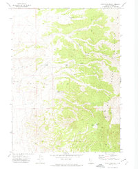
1971 · Rocky Pass Peak
USGS Topo · 1:24,000
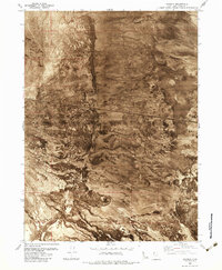
1983 · Jackson
USGS Topo · 1:24,000
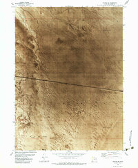
1983 · Bovine SE
USGS Topo · 1:24,000