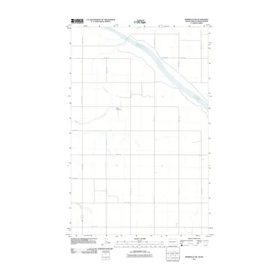
2011 Map of Bowbells NW
USGS Topo · Published 2011About this map
Upper Des Lacs Lake cuts a wide path through the prairie landscape in this northern borderlands region. The terrain is defined by the gentle drainage of Stony Creek, which winds through a strictly surveyed grid of rural roads and section lines. Modern infrastructure is represented by the North Star Dam, a key hydrological feature regulating local water flow. The map illustrates a sparse, agrarian settlement pattern where long thoroughfares like County Rd-2 and numbered avenues such as 70th Ave NW connect isolated farmsteads and agricultural tracts. This 2011 survey captures the area as it remains deeply rooted in its rural character, with the natural contours of the lake and creek providing the primary geographic relief against the man-made township and range system.
Find a feature on this map
16 named features on this map. Tap any name to fly to it.
Don’t see what you’re looking for? This feature index may not catch every label — zoom into the map to look around manually.
Map Details
Editions of this 2011 Bowbells NW Map
This is the sole edition of this map. No revisions or reprints were ever made.
Other maps of this area
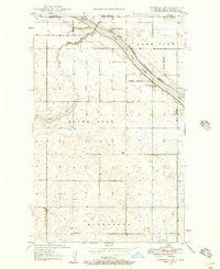
1947 · Bowbells NW
USGS Topo · 1:24,000
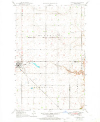
1947 · Bowbells
USGS Topo · 1:24,000
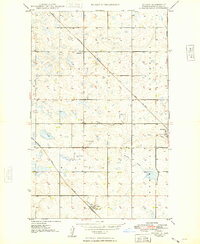
1948 · Coteau
USGS Topo · 1:24,000
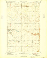
1949 · Bowbells
USGS Topo · 1:24,000
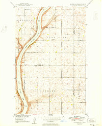
1949 · Bowbells SE
USGS Topo · 1:24,000
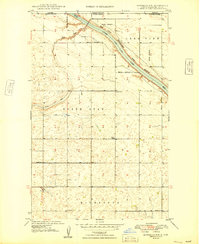
1949 · Bowbells NW
USGS Topo · 1:24,000
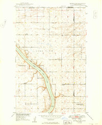
1949 · Bowbells NE
USGS Topo · 1:24,000
1949 · Northgate
USGS Topo · 1:24,000
1950 · Bowbells
USGS Topo · 1:62,500
1950 · Flaxton
USGS Topo · 1:62,500