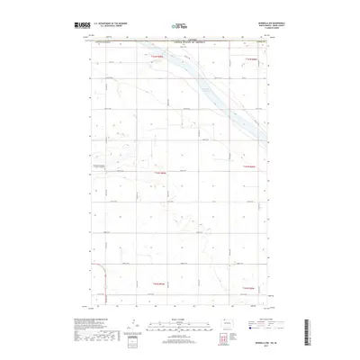
2017 Map of Bowbells NW
USGS Topo · Published 2017About this map
The international boundary between Canada and the United States defines the northern edge of this North Dakota landscape, where the prairie of Burke County meets the drainage basin of the Souris River valley. Upper Des Lacs Lake occupies a deep glacial meltwater channel in the northeast, a significant water body in an otherwise high-plains region. Inland from the lake, the landscape is dissected by Stony Cr, which winds through the central sections. Local history is anchored at the Saint Pauls Evangelical Lutheran Church Cem, situated near the junction of 70th Ave NW and 105th St NW. The map reveals a strict section-line road grid, including Co Rd 2 and Co 19, which reflects the systematic agricultural division of the land typical of the early 21st-century Great Plains.
Find a feature on this map
29 named features on this map. Tap any name to fly to it.
Don’t see what you’re looking for? This feature index may not catch every label — zoom into the map to look around manually.
Map Details
Editions of this 2017 Bowbells NW Map
This is the sole edition of this map. No revisions or reprints were ever made.
Other maps of this area
1947 · Bowbells NW
USGS Topo · 1:24,000
1947 · Bowbells
USGS Topo · 1:24,000
1948 · Coteau
USGS Topo · 1:24,000
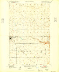
1949 · Bowbells
USGS Topo · 1:24,000
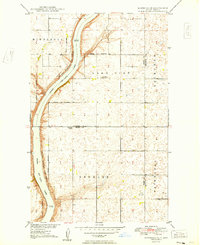
1949 · Bowbells SE
USGS Topo · 1:24,000
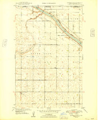
1949 · Bowbells NW
USGS Topo · 1:24,000
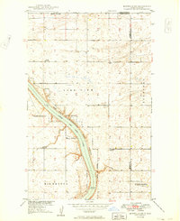
1949 · Bowbells NE
USGS Topo · 1:24,000
1949 · Northgate
USGS Topo · 1:24,000
1950 · Bowbells
USGS Topo · 1:62,500
1950 · Flaxton
USGS Topo · 1:62,500