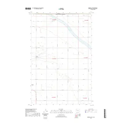
2020 Map of Bowbells NW
USGS Topo · Published 2020About this map
Saint Pauls Evangelical Lutheran Church Cem stands as a focal point for local history in this rural corner of Burke County, situated just south of where Stony Creek winds through the prairie. The landscape is defined by the expansive Upper Des Lacs Lake, which stretches across the northern portion of the region. This 2020 map documents the enduring agricultural character of the territory, organized by a rigid grid of local roads like Co RD 2 and 109th St NW. The settlement of Perella is located near the western edge of the map, illustrating the sparse but persistent distribution of rural communities in the northern plains. Along the northern boundary, the line between the Canada and the United States of America marks the transition into Saskatchewan, underscoring the international significance of this borderland terrain.
Find a feature on this map
25 named features on this map. Tap any name to fly to it.
Don’t see what you’re looking for? This feature index may not catch every label — zoom into the map to look around manually.
Map Details
Editions of this 2020 Bowbells NW Map
This is the sole edition of this map. No revisions or reprints were ever made.
Other maps of this area
1947 · Bowbells NW
USGS Topo · 1:24,000
1947 · Bowbells
USGS Topo · 1:24,000
1948 · Coteau
USGS Topo · 1:24,000
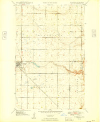
1949 · Bowbells
USGS Topo · 1:24,000
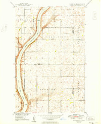
1949 · Bowbells SE
USGS Topo · 1:24,000
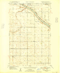
1949 · Bowbells NW
USGS Topo · 1:24,000
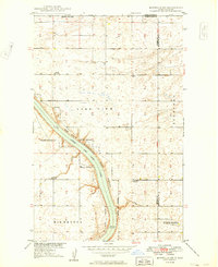
1949 · Bowbells NE
USGS Topo · 1:24,000
1949 · Northgate
USGS Topo · 1:24,000
1950 · Bowbells
USGS Topo · 1:62,500
1950 · Flaxton
USGS Topo · 1:62,500