Loading...
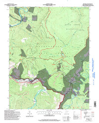
Loading map...1968 Map of Bowden
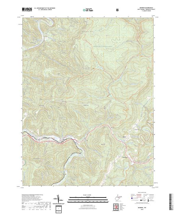
USGS Topo · Published 1975About this map
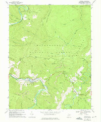
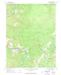
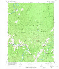
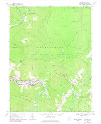
Shavers Fork carves through the center of this terrain, following a winding course that dictates the placement of the Western Maryland railroad and the small settlements of Faulkner and Bowden. In this high-elevation region of the Monongahela National Forest, the landscape is defined by the sharp relief of Mc Gowan Mountain and Shavers Mtn, where resource extraction is evident through numerous quarries, mines, and strip mines.
Find a feature on this map
84 named features on this map. Tap any name to fly to it.
Don’t see what you’re looking for? This feature index may not catch every label — zoom into the map to look around manually.
Map Details
Date Portrayed1968
Date Published1975
PublisherU.S. Geological Survey
Map TypeTopographic
Scale1:24,000
Physical Dimensions21.9 x 26.7 inches
Editions of this 1968 Bowden Map
4 editions found
Historical Maps of Weese Through Time
3 maps found
Featured Locations
Source Details
SourceU.S. Geological Survey
CopyrightPublic Domain