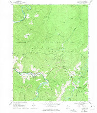
1968 Map of Bowden
USGS Topo · Published 1975About this map
Shavers Fork and its tributaries carve through the heart of the Monongahela National Forest, defining a landscape of high ridges and industrial activity in the late 1960s. The Western Maryland railroad follows the river's curve through Bowden, serving as a critical transport link for the region's extractive resources. Numerous mines, strip mines, and quarries are scattered across the terrain, particularly near Beverly and Leadsville, illustrating the era's reliance on timber and coal.
Find a feature on this map
67 named features on this map. Tap any name to fly to it.
Don’t see what you’re looking for? This feature index may not catch every label — zoom into the map to look around manually.
Map Details
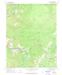
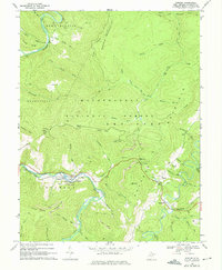
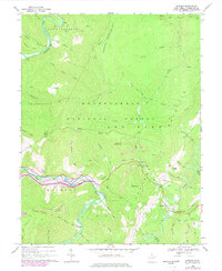
Editions of this 1968 Bowden Map
4 editions found
Other maps of this area

1886 · St. George
USGS Topo · 1:125,000

1889 · Beverly
USGS Topo · 1:125,000

1891 · St. George
USGS Topo · 1:125,000

1892 · Beverly
USGS Topo · 1:125,000

1907 · Belington
USGS Topo · 1:62,500

1908 · Parsons
USGS Topo · 1:62,500

1909 · Elkins
USGS Topo · 1:62,500

1922 · Horton
USGS Topo · 1:48,000

1924 · Horton
USGS Topo · 1:62,500

1926 · Parsons
USGS Topo · 1:62,500