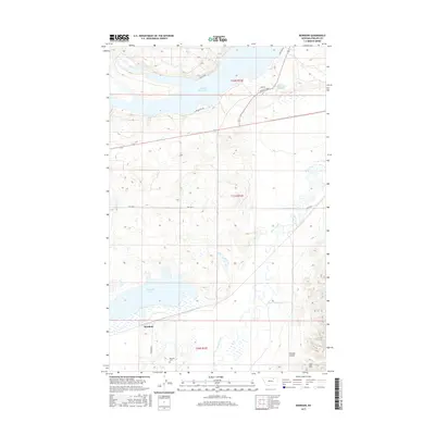
2017 Map of Bowdoin
USGS Topo · Published 2017About this map
Nelson Reservoir and the surrounding plains of Phillips County dominate this landscape, reflecting a region defined by water management and natural drainage. The small settlement of Bowdoin sits in the southwestern portion of the map, closely tied to the Bowdoin Cem nearby. The terrain is shaped by the winding course of Beaver Creek and the notable Dry Lake Unit, illustrating the hydrologic complexity of the Montana prairie. To the northeast, the presence of Sleeping Buffalo Hot Springs indicates the geothermal activity of the area, while the rising elevations of the Larb Hills and Thomas Coulee frame the eastern edge of the survey. The transport network is anchored by Old Hwy 2 and several local access routes like Bowdoin Rd and S Lake Access Rd, which connect these remote agricultural and recreational sites.
Find a feature on this map
18 named features on this map. Tap any name to fly to it.
Don’t see what you’re looking for? This feature index may not catch every label — zoom into the map to look around manually.
Map Details
Editions of this 2017 Bowdoin Map
This is the sole edition of this map. No revisions or reprints were ever made.
Other maps of this area
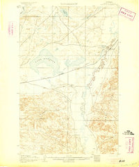
1905 · Bowdoin
USGS Topo · 1:62,500
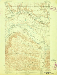
1905 · Saco Special
USGS Topo · 1:62,500
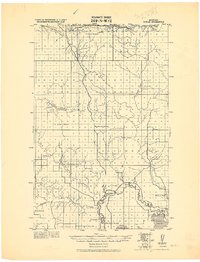
1920 · Cowan
USGS Topo · 1:125,000

1954 · Glasgow
USGS Topo · 1:250,000

1957 · Glasgow
USGS Topo · 1:250,000

1958 · Glasgow
USGS Topo · 1:250,000
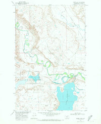
1968 · Hewitt Lake
USGS Topo · 1:24,000
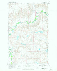
1968 · Hewitt Lake SW
USGS Topo · 1:24,000
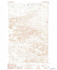
1984 · Clanton Coulee
USGS Topo · 1:24,000
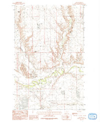
1984 · Cole
USGS Topo · 1:24,000