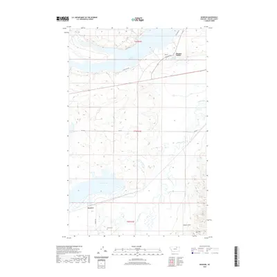
2020 Map of Bowdoin
USGS Topo · Published 2020About this map
Sleeping Buffalo and its namesake Sleeping Buffalo Hot Springs define the northern portion of this Phillips County landscape, situated near the expansive Nelson Reservoir. The area transitions from the managed waters of the reservoir to the high ground of the Larb Hills and the drainage of Thomas Coulee in the south. The settlement of Bowdoin sits in the southwest corner, adjacent to the Dry Lake Unit, reflecting a region tied to both wildlife management and early transportation routes.
Find a feature on this map
19 named features on this map. Tap any name to fly to it.
Don’t see what you’re looking for? This feature index may not catch every label — zoom into the map to look around manually.
Map Details
Editions of this 2020 Bowdoin Map
This is the sole edition of this map. No revisions or reprints were ever made.
Other maps of this area
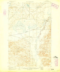
1905 · Bowdoin
USGS Topo · 1:62,500
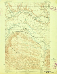
1905 · Saco Special
USGS Topo · 1:62,500
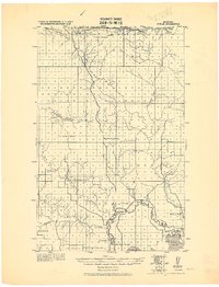
1920 · Cowan
USGS Topo · 1:125,000

1954 · Glasgow
USGS Topo · 1:250,000

1957 · Glasgow
USGS Topo · 1:250,000

1958 · Glasgow
USGS Topo · 1:250,000
1968 · Hewitt Lake
USGS Topo · 1:24,000
1968 · Hewitt Lake SW
USGS Topo · 1:24,000
1984 · Clanton Coulee
USGS Topo · 1:24,000
1984 · Cole
USGS Topo · 1:24,000