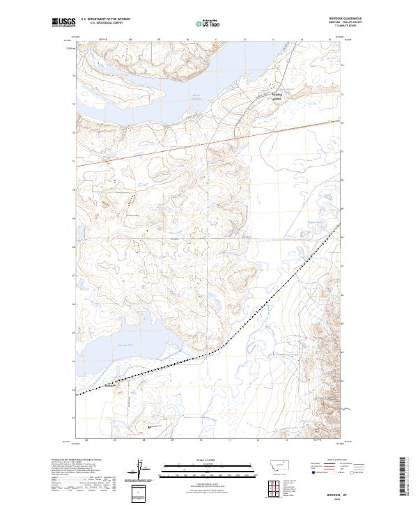
2024 Map of Bowdoin
USGS Topo · Published 2024About this map
Bowdoin National Wildlife Refuge dominates this northern Montana landscape, protecting a complex of wetlands and water bodies essential to the region's ecology. Centered around the expansive Lake Bowdoin and supported by the Bowdoin Canal, the refuge provides a stark contrast to the surrounding terrain of the Bowdoin Dome. The area is a critical junction for transport and water management, where the BNSF Railway and US Highway 2 cut across the plains near the settlement of Bulo.
Find a feature on this map
11 named features on this map. Tap any name to fly to it.
Don’t see what you’re looking for? This feature index may not catch every label — zoom into the map to look around manually.
Map Details
Editions of this 2024 Bowdoin Map
This is the sole edition of this map. No revisions or reprints were ever made.
Other maps of this area

1905 · Bowdoin
USGS Topo · 1:62,500

1905 · Saco Special
USGS Topo · 1:62,500

1920 · Cowan
USGS Topo · 1:125,000

1954 · Glasgow
USGS Topo · 1:250,000

1957 · Glasgow
USGS Topo · 1:250,000

1958 · Glasgow
USGS Topo · 1:250,000
1968 · Hewitt Lake
USGS Topo · 1:24,000

1968 · Hewitt Lake SW
USGS Topo · 1:24,000

1984 · Clanton Coulee
USGS Topo · 1:24,000

1984 · Cole
USGS Topo · 1:24,000