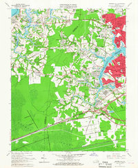
1965 Map of Bowers Hill
USGS Topo · Published 1967About this map
Dismal Swamp dominates the southern reaches of this landscape, its dark wetlands contrasting with the rapidly expanding suburban corridors of the mid-1960s. The region is a dense network of residential developments and older settlements, where Pughsville and Shoulders Hill sit between major transportation arteries. The map documents a critical moment of infrastructure growth, with the Military Highway and several railroads including the Seaboard Air Line and Norfolk and Western carving through the terrain. The eastern edge reveals the industrial and maritime character of the Western Branch Elizabeth River, while institutional landmarks like the US Naval Supply Center and the Portsmouth Airport underscore the area's strategic importance during the Cold War era. Established community pillars, such as Churchland High Sch and St Marys Ch, provide essential points of reference for local historians.
Find a feature on this map
105 named features on this map. Tap any name to fly to it.
Don’t see what you’re looking for? This feature index may not catch every label — zoom into the map to look around manually.
Map Details
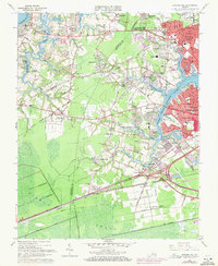
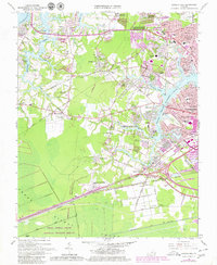
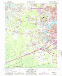
Editions of this 1965 Bowers Hill Map
4 editions found
Other maps of this area

1907 · Norfolk
USGS Topo · 1:125,000

1919 · Smithfield
USGS Topo · 1:62,500

1919 · Suffolk
USGS Topo · 1:62,500

1921 · Newport News
USGS Topo · 1:62,500

1940 · Lake Drummond
USGS Topo · 1:62,500

1944 · Norfolk South
USGS Topo · 1:25,000

1945 · Lake Drummond
USGS Topo · 1:62,500

1948 · Norfolk South
USGS Topo · 1:24,000
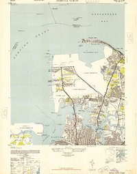
1948 · Norfolk North
USGS Topo · 1:24,000

1949 · Chuckatuck
USGS Topo · 1:24,000