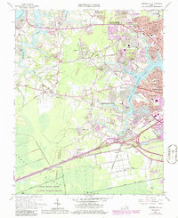
1965 Map of Bowers Hill
USGS Topo · Published 1986About this map
The Great Dismal Swamp National Wildlife Refuge anchors the southern boundary of this coastal Virginia landscape, where the agricultural past met mid-century suburban expansion. The western edge is defined by the Nansemond River and its tributaries like Bennett Creek, while the Western Branch Elizabeth River carves through the eastern portion of the map. Transportation corridors dominate the central geography, specifically the Norfolk and Western Railway and the Seaboard Coast Line Railroad, which intersect at Bowers Hill.
Find a feature on this map
107 named features on this map. Tap any name to fly to it.
Don’t see what you’re looking for? This feature index may not catch every label — zoom into the map to look around manually.
Map Details
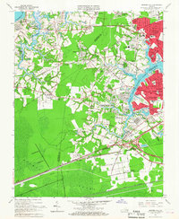
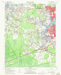
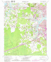
Editions of this 1965 Bowers Hill Map
4 editions found
Other maps of this area

1907 · Norfolk
USGS Topo · 1:125,000

1919 · Smithfield
USGS Topo · 1:62,500

1919 · Suffolk
USGS Topo · 1:62,500

1921 · Newport News
USGS Topo · 1:62,500

1940 · Lake Drummond
USGS Topo · 1:62,500

1944 · Norfolk South
USGS Topo · 1:25,000

1945 · Lake Drummond
USGS Topo · 1:62,500

1948 · Norfolk South
USGS Topo · 1:24,000
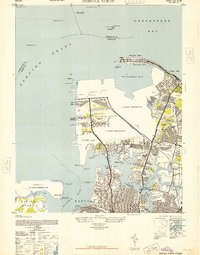
1948 · Norfolk North
USGS Topo · 1:24,000

1949 · Chuckatuck
USGS Topo · 1:24,000