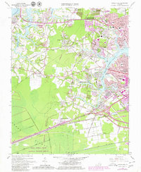
1965 Map of Bowers Hill
USGS Topo · Published 1980About this map
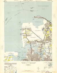
The northern reaches of the Great Dismal Swamp define the southern edge of this landscape, where the Great Dismal Swamp National Wildlife Refuge meets the advancing residential developments of Chesapeake City and Portsmouth. This 1965 survey, updated with late-1970s urban revisions, documents a critical period of suburban expansion. Major transportation corridors like the Seaboard Coast Line and Norfolk and Western railroads bisect the terrain, connecting established settlements like Pughsville and Jolliff with the industrial infrastructure of the U S Naval Supply Center.
Find a feature on this map
102 named features on this map. Tap any name to fly to it.
Don’t see what you’re looking for? This feature index may not catch every label — zoom into the map to look around manually.
Map Details
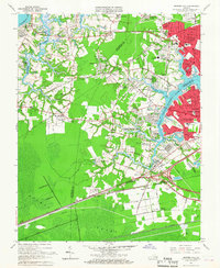
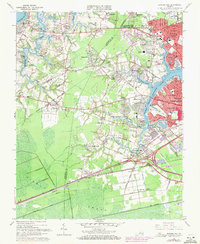
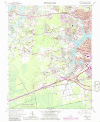
Editions of this 1965 Bowers Hill Map
4 editions found
Other maps of this area

1907 · Norfolk
USGS Topo · 1:125,000

1919 · Smithfield
USGS Topo · 1:62,500

1919 · Suffolk
USGS Topo · 1:62,500

1921 · Newport News
USGS Topo · 1:62,500

1940 · Lake Drummond
USGS Topo · 1:62,500

1944 · Norfolk South
USGS Topo · 1:25,000

1945 · Lake Drummond
USGS Topo · 1:62,500

1948 · Norfolk South
USGS Topo · 1:24,000
1948 · Norfolk North
USGS Topo · 1:24,000

1949 · Chuckatuck
USGS Topo · 1:24,000