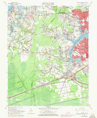
1965 Map of Bowers Hill
USGS Topo · Published 1971About this map
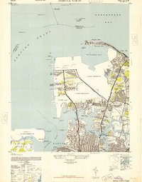
The Western Branch Elizabeth River and its intricate tributaries define the landscape of this coastal Virginia region, where expanding residential developments like Green Acres and Sterling Point meet tidal marshlands. The intersection of the Norfolk and Western Railway and the Seaboard Coast Line at Bowers Hill illustrates the area's role as a vital transportation corridor connecting the interior to the Elizabeth River waterfront.
Find a feature on this map
113 named features on this map. Tap any name to fly to it.
Don’t see what you’re looking for? This feature index may not catch every label — zoom into the map to look around manually.
Map Details
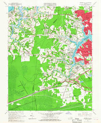
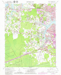
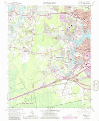
Editions of this 1965 Bowers Hill Map
4 editions found
Other maps of this area

1907 · Norfolk
USGS Topo · 1:125,000

1919 · Smithfield
USGS Topo · 1:62,500

1919 · Suffolk
USGS Topo · 1:62,500

1921 · Newport News
USGS Topo · 1:62,500

1940 · Lake Drummond
USGS Topo · 1:62,500

1944 · Norfolk South
USGS Topo · 1:25,000

1945 · Lake Drummond
USGS Topo · 1:62,500

1948 · Norfolk South
USGS Topo · 1:24,000
1948 · Norfolk North
USGS Topo · 1:24,000

1949 · Chuckatuck
USGS Topo · 1:24,000