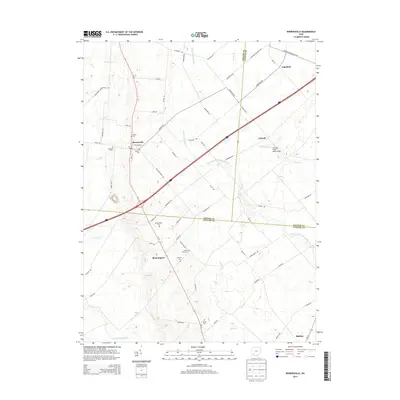
2013 Map of Bowersville
USGS Topo · Published 2013About this map
Bowersville sits at the intersection of several historic township routes, marking a traditional agricultural hub where Greene, Fayette, and Clinton Counties converge. This 2013 survey reveals a landscape defined by the drainage patterns of West Branch Rattlesnake Creek and Anderson Fork, which have shaped the placement of local roads and family-named cemeteries. The map is particularly valuable for genealogists, as it identifies numerous small burial grounds including Hussey Cem, Stewart Cem, and Coulter Cem, often the only remaining physical markers of early pioneer families in the area. The presence of Hanshell Flying Apple Airport near Luttrell highlights the continued adaptation of this rural landscape for private aviation. The southern edge of the map transition into the outskirts of Sabina, showing how modern transportation corridors bypass the smaller, older settlements like Bloomington and Edgefield.
Find a feature on this map
67 named features on this map. Tap any name to fly to it.
Don’t see what you’re looking for? This feature index may not catch every label — zoom into the map to look around manually.
Map Details
Editions of this 2013 Bowersville Map
This is the sole edition of this map. No revisions or reprints were ever made.
Other maps of this area

1907 · Blanchester
USGS Topo · 1:62,500

1916 · Octa
USGS Topo · 1:62,500

1917 · Xenia
USGS Topo · 1:62,500

1917 · Sabina
USGS Topo · 1:62,500

1943 · Sabina
USGS Topo · 1:62,500

1944 · Octa
USGS Topo · 1:62,500

1947 · Columbus
USGS Topo · 1:250,000

1955 · Cedarville
USGS Topo · 1:24,000

1955 · Port William
USGS Topo · 1:24,000

1961 · Columbus
USGS Topo · 1:250,000