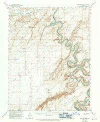
1963 Map of Bowknot Bend
USGS Topo · Published 1971About this map
Green River carves a dramatic path through the high desert of Eastern Utah, where the extreme meanders of Trin-Alcove Bend and the namesake Bowknot Bend showcase a landscape defined by deep erosion. This mid-century survey reflects an era of atomic-age exploration, mapped in cooperation with the Atomic Energy Commission. It documents the Hey Joe Mine tucked within a side canyon, alongside numerous mineral-related Drill Holes that signal the region's 1950s uranium prospecting rush. Water sources are vital landmarks in this arid terrain, including Moonshine Spring, Keg Spring, and Old Man Spring. The topography transitions from the high Gruvers Mesa down to the river bottoms, such as Bull Bottom and Oak Bottom, which provided rare accessible ground along the winding Labyrinth Canyon.
Find a feature on this map
63 named features on this map. Tap any name to fly to it.
Don’t see what you’re looking for? This feature index may not catch every label — zoom into the map to look around manually.
Map Details
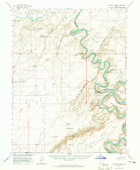
Editions of this 1963 Bowknot Bend Map
2 editions found
Other maps of this area

1885 · San Rafael
USGS Topo · 1:250,000

1885 · La Sal
USGS Topo · 1:250,000

1951 · The Knoll
USGS Topo · 1:62,500

1951 · Upheaval Dome
USGS Topo · 1:62,500

1952 · Tidwell 4 SE
USGS Topo · 1:24,000

1952 · Carlisle 2 NW
USGS Topo · 1:24,000

1952 · Tidwell 4 NE
USGS Topo · 1:24,000

1952 · Moab 3 SW
USGS Topo · 1:24,000

1952 · Moab 3 NW
USGS Topo · 1:24,000

1953 · Orange Cliffs 1 NE
USGS Topo · 1:24,000