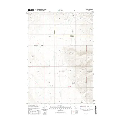
2014 Map of Bowler
USGS Topo · Published 2014About this map
Bowler and the surrounding Bowler Flats define this high-country landscape along the border of Carbon and Big Horn Counties. The terrain is marked by significant elevation changes, ranging from the prominent Black Butte to deep drainages like Water Canyon and Inferno Canyon. This 2014 survey documents the enduring markers of the local community, including the Bowler Cemetery and the historic Section House Draw, a name that hints at the area's former connection to railway maintenance. Much of the eastern portion of the map is occupied by the protected lands of the Custer National Forest. The map also details a network of backcountry routes such as Pryor Mountain Rd and Sage Creek Rd, which provide access through the Pryor Gap and along the seasonal course of Sage Creek.
Find a feature on this map
26 named features on this map. Tap any name to fly to it.
Don’t see what you’re looking for? This feature index may not catch every label — zoom into the map to look around manually.
Map Details
Editions of this 2014 Bowler Map
This is the sole edition of this map. No revisions or reprints were ever made.
Other maps of this area
1954 · Billings
USGS Topo · 1:250,000
1957 · Billings
USGS Topo · 1:250,000
1958 · Billings
USGS Topo · 1:250,000
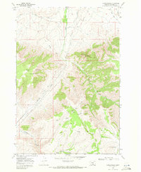
1967 · Castle Rocks
USGS Topo · 1:24,000
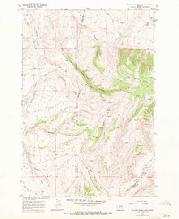
1967 · Section House Draw
USGS Topo · 1:24,000
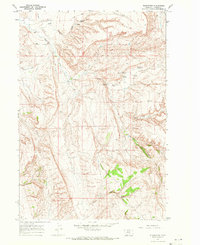
1967 · Bluewater
USGS Topo · 1:24,000
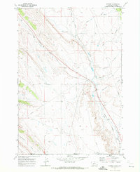
1969 · Warren
USGS Topo · 1:24,000
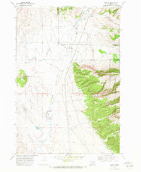
1969 · Bowler
USGS Topo · 1:24,000
1969 · Bear Canyon
USGS Topo · 1:24,000
1969 · Hunters Creek
USGS Topo · 1:24,000