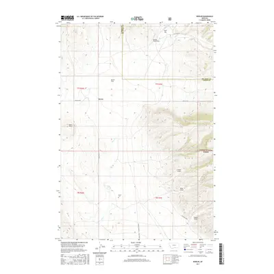
2017 Map of Bowler
USGS Topo · Published 2017About this map
Bowler sits as a quiet settlement focal point in this high-plains landscape where the Carbon and Big Horn county lines meet. The terrain is defined by dramatic geographic breaks such as Pryor Gap and the prominent Black Butte, which overlook the expansive Bowler Flats. To the south and east, the map detail extends into the protected lands of the Custer National Forest, where steep drainages like Timber Canyon, Water Canyon, and Inferno Canyon cut into the hillsides. A clear signature of the area's transportation history is visible through labels like Railroad Grade Rd and Rail Bed Rd, tracing former rail corridors across the drainages of Sage Cr and Summit Cr. For those researching local lineages, the Bowler Cem remains a primary landmark of the community's early presence in this part of Montana.
Find a feature on this map
23 named features on this map. Tap any name to fly to it.
Don’t see what you’re looking for? This feature index may not catch every label — zoom into the map to look around manually.
Map Details
Editions of this 2017 Bowler Map
This is the sole edition of this map. No revisions or reprints were ever made.
Other maps of this area
1954 · Billings
USGS Topo · 1:250,000
1957 · Billings
USGS Topo · 1:250,000
1958 · Billings
USGS Topo · 1:250,000
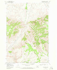
1967 · Castle Rocks
USGS Topo · 1:24,000
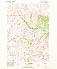
1967 · Section House Draw
USGS Topo · 1:24,000
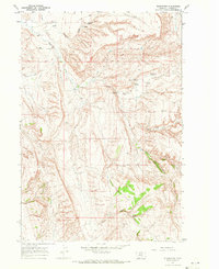
1967 · Bluewater
USGS Topo · 1:24,000
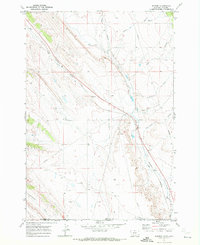
1969 · Warren
USGS Topo · 1:24,000
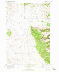
1969 · Bowler
USGS Topo · 1:24,000
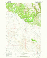
1969 · Bear Canyon
USGS Topo · 1:24,000
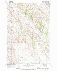
1969 · Hunters Creek
USGS Topo · 1:24,000