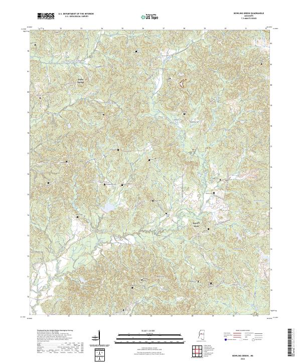
2024 Map of Bowling Green
USGS Topo · Published 2024About this map
Bowling Green and Poplar Springs anchor this Holmes County landscape, where a dense network of family cemeteries reveals the deep genealogical roots of the region. The terrain is defined by a complex drainage system, including the meandering Bisland Bayou and Little Fannegusha Creek, which cut through the rural hills. Historical land divisions are clearly marked by the presence of t16n r3e and t15n r4e township boundaries.
Find a feature on this map
75 named features on this map. Tap any name to fly to it.
Don’t see what you’re looking for? This feature index may not catch every label — zoom into the map to look around manually.
Map Details
Editions of this 2024 Bowling Green Map
This is the sole edition of this map. No revisions or reprints were ever made.
Other maps of this area

1940 · Seven Pines
USGS Topo · 1:62,500

1940 · Lexington
USGS Topo · 1:62,500

1953 · Greenwood
USGS Topo · 1:250,000

1953 · West Point
USGS Topo · 1:250,000

1956 · Greenwood
USGS Topo · 1:250,000

1957 · Lexington
USGS Topo · 1:62,500

1957 · Seven Pines
USGS Topo · 1:62,500

1958 · West Point
USGS Topo · 1:250,000

1958 · Seven Pines
USGS Topo · 1:62,500

1958 · Lexington
USGS Topo · 1:62,500