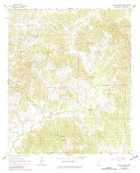
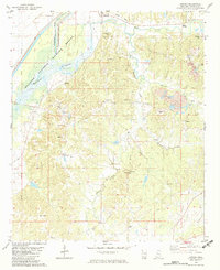
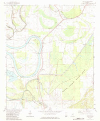
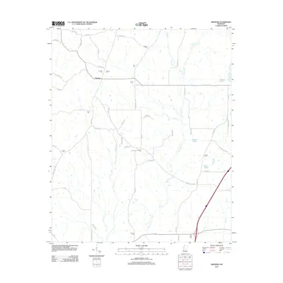
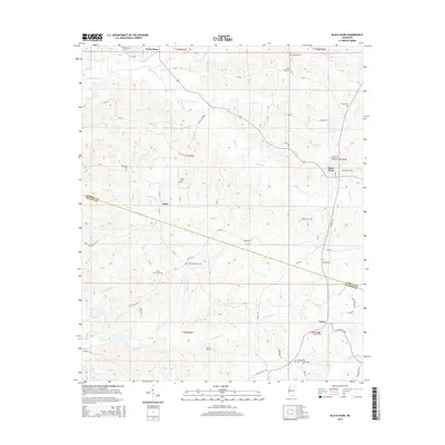
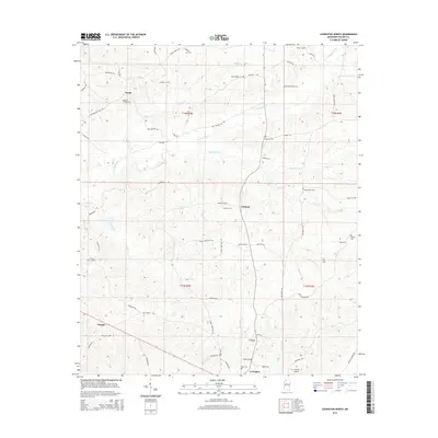
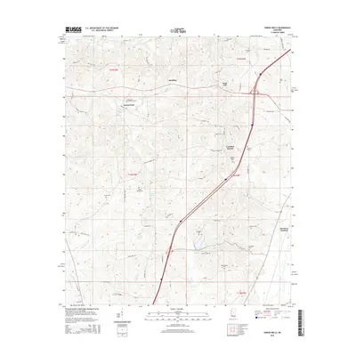
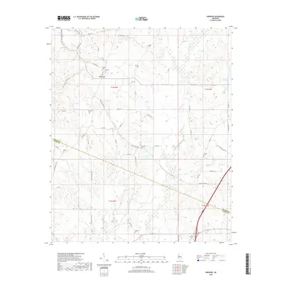
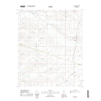
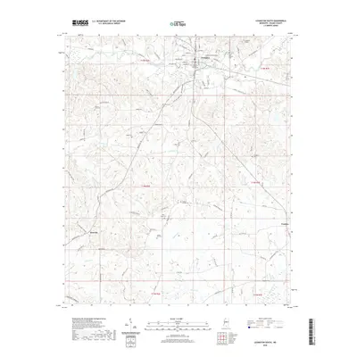
1964 Map of Bowling Green
USGS Topo · Published 1982About this map
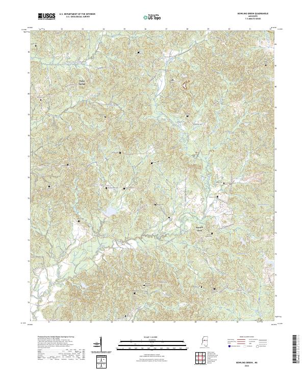
The Old Indian Treaty Boundary slices diagonally across this Holmes County landscape, a historical marker of early land divisions that still influenced property lines and roads well into the mid-20th century. This rural territory is defined by the winding paths of Little Fannegusha Creek and Black Creek, with small settlements like Poplar Springs and Bowling Green serving as local anchors. For the family historian, the map is particularly dense with small country sanctuaries and burial grounds, including the First Pilgrim Rest Ch, Bethesda Chapel, and Mt Pleasant Ch. Numerous family-named cemeteries such as Thurman Cem, Rogers Cem, and Montgomery Cem are scattered across the terrain, indicating a deeply rooted population that maintained communal and family identity through these scattered landmarks even as modern infrastructure was beginning to modernize the rural south.
Find a feature on this map
27 named features on this map. Tap any name to fly to it.
Don’t see what you’re looking for? This feature index may not catch every label — zoom into the map to look around manually.
Map Details
Editions of this 1964 Bowling Green Map
2 editions found
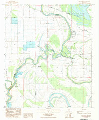
Historical Maps of Poplar Springs Through Time
60 maps found
1964 Bowling Green
Holmes County, MS

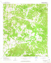
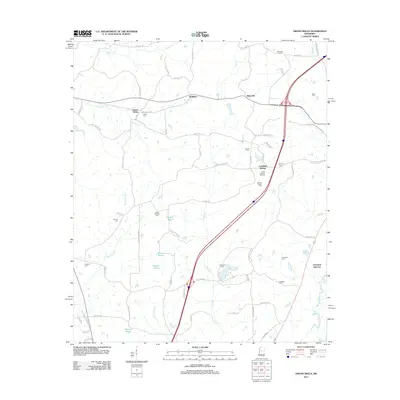
1964 Ebenezer
Holmes County, MS
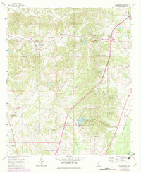
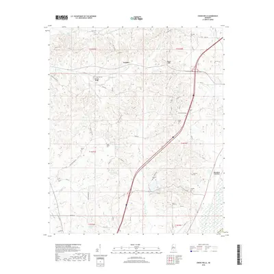
1964 Owens Wells
Holmes County, MS
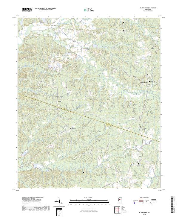
1982 Black Hawk
Holmes County, MS
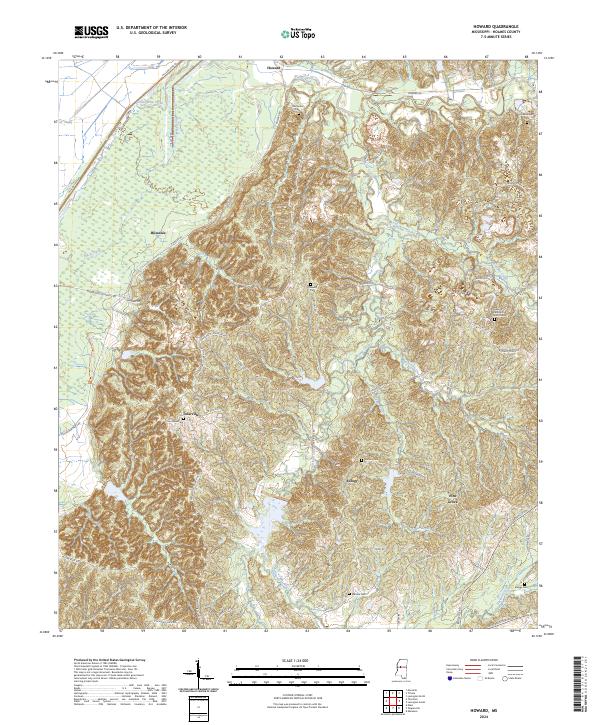
1982 Howard
Holmes County, MS
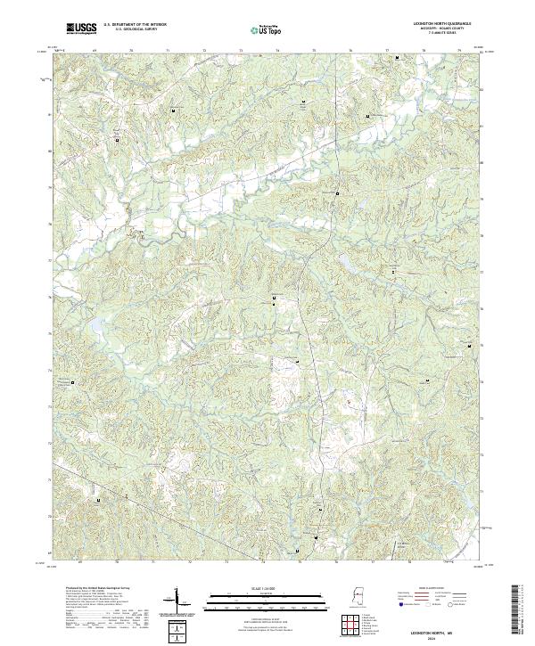
1982 Lexington North
Holmes County, MS
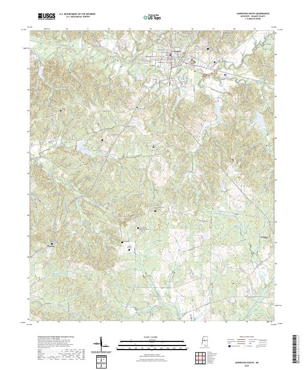
1982 Lexington South
Holmes County, MS
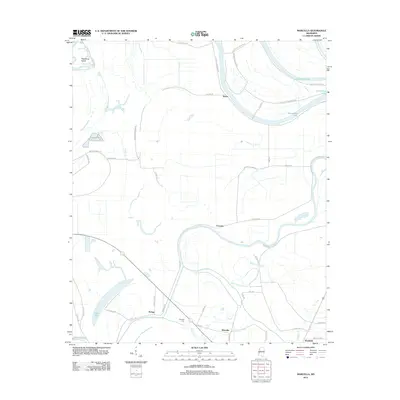
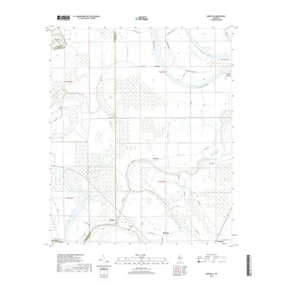
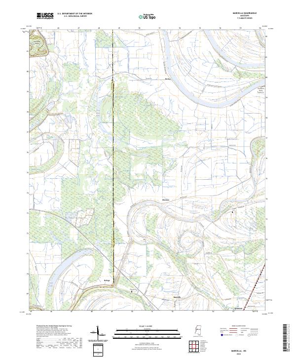
1982 Marcella
Holmes County, MS
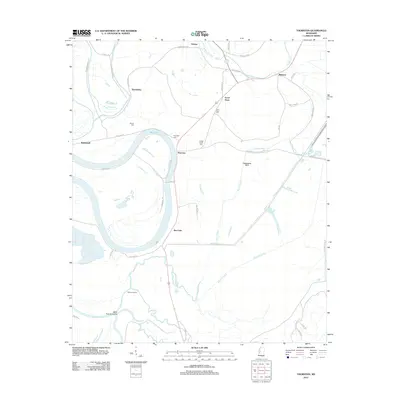
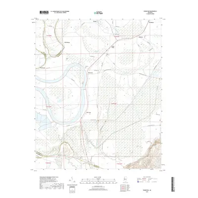
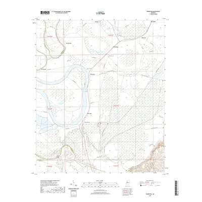
1982 Thornton
Holmes County, MS
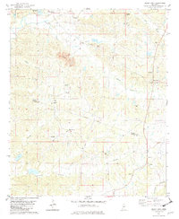
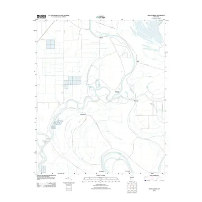
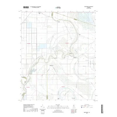
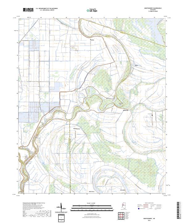
1983 Montgomery
Holmes County, MS
2012 Black Hawk
Holmes County, MS
2012 Bowling Green
Holmes County, MS
2012 Ebenezer
Holmes County, MS
2012 Howard
Holmes County, MS
2012 Lexington North
Holmes County, MS
2012 Lexington South
Holmes County, MS
2012 Marcella
Holmes County, MS
2012 Montgomery
Holmes County, MS
2012 Owens Wells
Holmes County, MS
2012 Thornton
Holmes County, MS
2015 Black Hawk
Holmes County, MS
2015 Bowling Green
Holmes County, MS
2015 Ebenezer
Holmes County, MS
2015 Howard
Holmes County, MS
2015 Lexington North
Holmes County, MS
2015 Lexington South
Holmes County, MS
2015 Marcella
Holmes County, MS
2015 Montgomery
Holmes County, MS
2015 Owens Wells
Holmes County, MS
2015 Thornton
Holmes County, MS
2018 Black Hawk
Holmes County, MS
2018 Bowling Green
Holmes County, MS
2018 Ebenezer
Holmes County, MS
2018 Howard
Holmes County, MS
2018 Lexington North
Holmes County, MS
2018 Lexington South
Holmes County, MS
2018 Marcella
Holmes County, MS
2018 Montgomery
Holmes County, MS
2018 Owens Wells
Holmes County, MS
2018 Thornton
Holmes County, MS
2020 Black Hawk
Holmes County, MS
2020 Bowling Green
Holmes County, MS
2020 Ebenezer
Holmes County, MS

2020 Howard
Holmes County, MS
2020 Lexington North
Holmes County, MS
2020 Lexington South
Holmes County, MS
2020 Marcella
Holmes County, MS
2020 Montgomery
Holmes County, MS
2020 Owens Wells
Holmes County, MS
2020 Thornton
Holmes County, MS
2024 Black Hawk
Holmes County, MS
2024 Bowling Green
Holmes County, MS

2024 Ebenezer
Holmes County, MS
2024 Howard
Holmes County, MS
2024 Lexington North
Holmes County, MS
2024 Lexington South
Holmes County, MS
2024 Marcella
Holmes County, MS
2024 Montgomery
Holmes County, MS
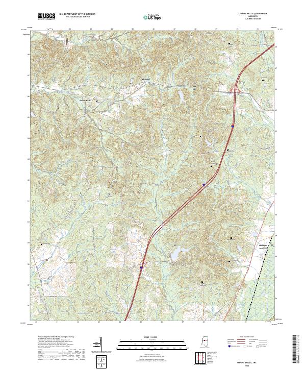
2024 Owens Wells
Holmes County, MS
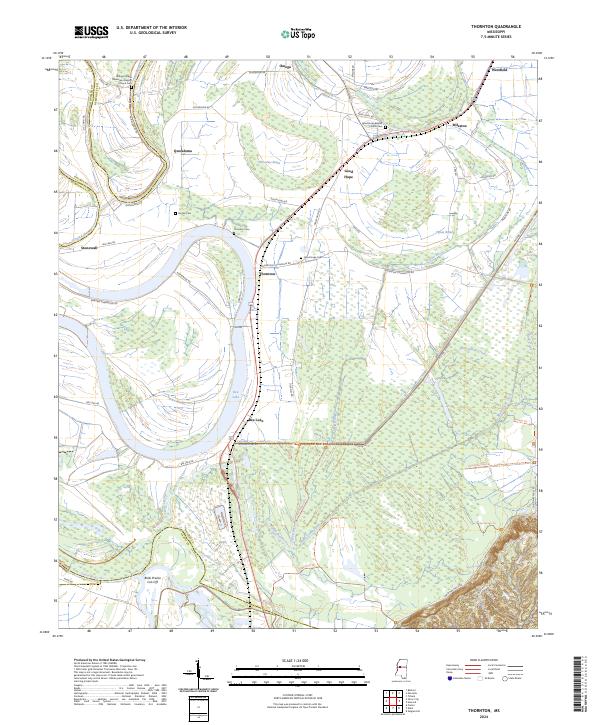
2024 Thornton
Holmes County, MS