Loading...
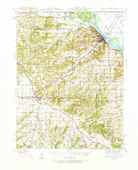
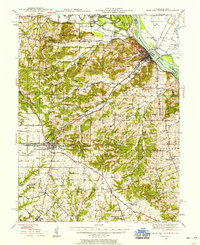
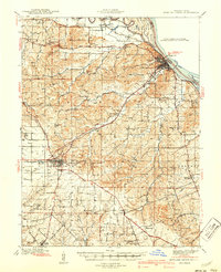
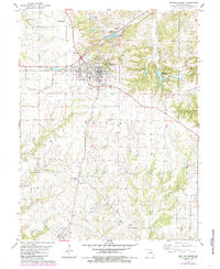
Loading map...1937 Map of Bowling Green
USGS Topo · Published 1966About this map
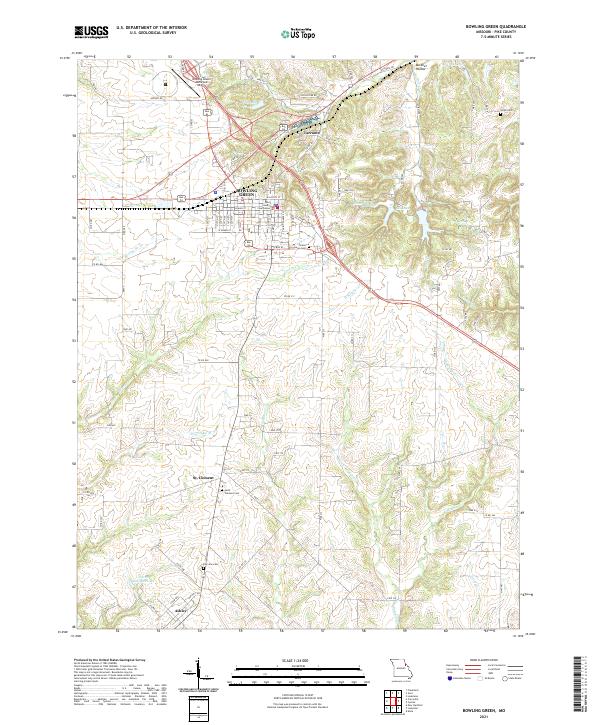
The Mississippi River and the Salt River converge near Louisiana in this detailed survey of eastern Missouri, where a complex network of schools and churches served the agricultural communities of Pike County. The landscape is defined by the Chicago Burlington and Quincy and Alton RR lines, which supported the regional economy through the mid-1930s. Notably, the map captures the extensive Stark Nursery and the County Farm, reflecting the era's land use patterns.
Find a feature on this map
65 named features on this map. Tap any name to fly to it.
Don’t see what you’re looking for? This feature index may not catch every label — zoom into the map to look around manually.
Map Details
Date Portrayed1937
Date Published1966
PublisherU.S. Geological Survey
Map TypeTopographic
Scale1:62,500
Physical Dimensions17.6 x 21.8 inches
Editions of this 1937 Bowling Green Map
2 editions found
Historical Maps of Bowling Green Through Time
7 maps found
Featured Locations
Source Details
SourceU.S. Geological Survey
CopyrightPublic Domain