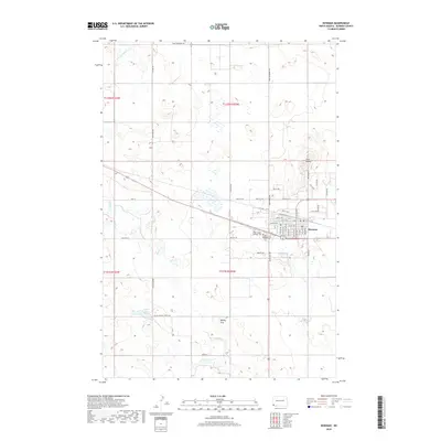
2018 Map of Bowman
USGS Topo · Published 2018About this map
Bowman serves as the primary hub of this high plains landscape, situated at the junction of HWY 12 and Route 85. The town's grid is detailed with residential streets and local landmarks, including the Bowman Cem and Saint Charles Catholic Cem. Beyond the settlement, the topography is defined by the Harvey Hills and the prominent rising points of Twin Buttes to the northeast. Water is a scarce but vital element of the terrain, marked by Kalina Lake and the winding paths of Spring Cr and the E Fork Deep Cr. The surrounding township lines, including t132n r103w and t131n r102w, organize a vast network of section roads like Farm to Market Rd and 149th Ave SW, reflecting the systematic agricultural layout of Bowman County in the early 21st century.
Find a feature on this map
51 named features on this map. Tap any name to fly to it.
Don’t see what you’re looking for? This feature index may not catch every label — zoom into the map to look around manually.
Map Details
Editions of this 2018 Bowman Map
This is the sole edition of this map. No revisions or reprints were ever made.
Other maps of this area
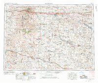
1953 · Dickinson
USGS Topo · 1:250,000
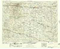
1957 · Dickinson
USGS Topo · 1:250,000
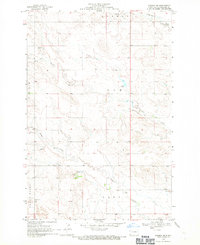
1968 · Bowman SW
USGS Topo · 1:24,000
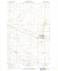
1968 · Bowman
USGS Topo · 1:24,000
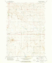
1973 · Talbot Butte
USGS Topo · 1:24,000
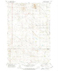
1973 · Amidon SE
USGS Topo · 1:24,000
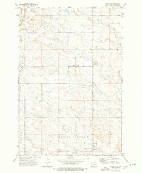
1973 · Rhame SE
USGS Topo · 1:24,000
1973 · Bowman SE
USGS Topo · 1:24,000
1973 · Stewart Lake
USGS Topo · 1:24,000
1973 · Griffin
USGS Topo · 1:24,000