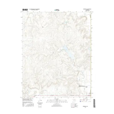
2016 Map of Bowring SE
USGS Topo · Published 2016About this map
Bartlesville Municipal Airport anchors the southeastern corner of this landscape, where the urban periphery of Washington County meets the rugged drainages of the Osage Hills. The terrain is defined by a dense network of seasonal and perennial streams including Mission Cr, Butler Cr, and Turkey Cr, which carve through the high ground of Hay Hollow. Significant water management is evident in the northern sections, notably the Cotton-Coon-Mission Creek Site 1 Reservoir and Lake Hudson, reflecting the region's mid-century hydraulic engineering to control the erratic prairie watersheds.
Find a feature on this map
33 named features on this map. Tap any name to fly to it.
Don’t see what you’re looking for? This feature index may not catch every label — zoom into the map to look around manually.
Map Details
Editions of this 2016 Bowring SE Map
This is the sole edition of this map. No revisions or reprints were ever made.
Other maps of this area
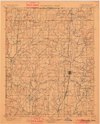
1901 · Nowata
USGS Topo · 1:125,000
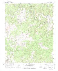
1906 · Nelagoney
USGS Topo · 1:24,000
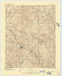
1909 · Pawhuska
USGS Topo · 1:125,000
1910 · Pawhuska
USGS Topo · 1:125,000
1914 · Nowata
USGS Topo · 1:125,000

1954 · Tulsa
USGS Topo · 1:250,000

1955 · Enid
USGS Topo · 1:250,000

1958 · Enid
USGS Topo · 1:250,000
1958 · Tulsa
USGS Topo · 1:250,000
1960 · Nelagoney
USGS Topo · 1:24,000