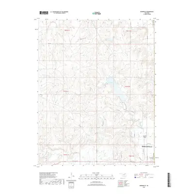
2018 Map of Bowring SE
USGS Topo · Published 2018About this map
Bartlesville occupies the southeast corner of this survey, where the urban edge meets the rolling drainage basins of northern Oklahoma. The landscape is defined by a dense network of waterways including Butler Creek, which feeds into Lake Hudson, and the winding Mission Creek to the north. Transport infrastructure is prominent along the city’s periphery, anchored by the Bartlesville Municipal Airport and a grid of county roads such as Co Rd 3550 and Wiley Post Rd. The terrain is punctuated by The Mound, a distinct topographical landmark overlooking the transition from town to country. This survey illustrates the relationship between the growing municipality and the surrounding rural sections of Osage County, where drainage features like Hay Hollow and Turkey Creek shape the land use outside the city limits.
Find a feature on this map
39 named features on this map. Tap any name to fly to it.
Don’t see what you’re looking for? This feature index may not catch every label — zoom into the map to look around manually.
Map Details
Editions of this 2018 Bowring SE Map
This is the sole edition of this map. No revisions or reprints were ever made.
Other maps of this area
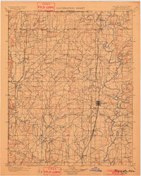
1901 · Nowata
USGS Topo · 1:125,000
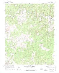
1906 · Nelagoney
USGS Topo · 1:24,000
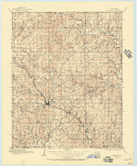
1909 · Pawhuska
USGS Topo · 1:125,000
1910 · Pawhuska
USGS Topo · 1:125,000
1914 · Nowata
USGS Topo · 1:125,000

1954 · Tulsa
USGS Topo · 1:250,000

1955 · Enid
USGS Topo · 1:250,000

1958 · Enid
USGS Topo · 1:250,000
1958 · Tulsa
USGS Topo · 1:250,000
1960 · Nelagoney
USGS Topo · 1:24,000