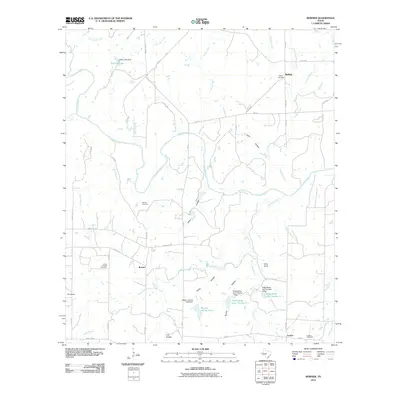
2010 Map of Bowser
USGS Topo · Published 2010About this map
The Colorado River carves a winding path through the heart of this San Saba County landscape, defining the rural geography between the settlements of Bowser and Locker. This 2010 survey reflects a region primarily shaped by agricultural life and small-scale water management, evidenced by the numerous tanks and lakes scattered across the terrain, including Collins Lake, William Harlow Lake, and the Sofge-Bates Lake Number 1. Genealogists will find significant value in the distribution of family-named burial grounds like the Bowser Cemetery, Locker Cemetery, and the Ebony Cemetery near Buffalo. The terrain is marked by distinctive elevations such as Corn Knob and Cat Knob, while the intricate network of hollows—like Laird Hollow and Harky Hollow—illustrate the natural drainage patterns feeding into Wilbarger Creek and other local branches. This map provides a detailed view of the rural road system, from ranch-to-market routes like FM 574 to local county roads that connect these long-established Texas communities.
Find a feature on this map
59 named features on this map. Tap any name to fly to it.
Don’t see what you’re looking for? This feature index may not catch every label — zoom into the map to look around manually.
Map Details
Editions of this 2010 Bowser Map
This is the sole edition of this map. No revisions or reprints were ever made.
Other maps of this area

1885 · San Saba
USGS Topo · 1:125,000

1887 · Coleman
USGS Topo · 1:125,000

1889 · Brownwood
USGS Topo · 1:125,000

1889 · Coleman
USGS Topo · 1:125,000

1894 · Brady
USGS Topo · 1:125,000

1894 · Brownwood
USGS Topo · 1:125,000

1894 · San Saba
USGS Topo · 1:125,000

1925 · San Saba 2-a
USGS Topo · 1:48,000

1925 · Brady 1-a
USGS Topo · 1:48,000

1925 · Brownwood 3-d
USGS Topo · 1:48,000