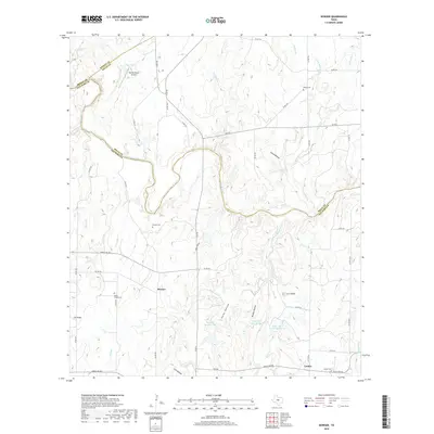
2019 Map of Bowser
USGS Topo · Published 2019About this map
The Colorado River carves a deep, winding path through the borderlands of San Saba, Mills, and Brown counties, defining the northern landscape of this region. Small agricultural settlements like Bowser and Locker serve as the primary hubs in an area characterized by numerous hollows and knobs, such as Laird Hollow and Corn Knob. The transport network relies on a system of farm-to-market roads and county routes that navigate the complex drainage basins of Wilbarger Cr and Buffalo Cr. Local history and genealogy are preserved in several rural burial grounds, including the Ebony Cem, Bowser Cem, and Vargy Chapel Cem. In the northwest, the Tin Top Ranch Airport and Collins Lake highlight the intersection of ranching infrastructure and water management, while further south, the Sofge-Bates Lake Number 1 and Sofge-Bates Lake Number 2 reservoirs represent modern hydrological additions to the terrain.
Find a feature on this map
63 named features on this map. Tap any name to fly to it.
Don’t see what you’re looking for? This feature index may not catch every label — zoom into the map to look around manually.
Map Details
Editions of this 2019 Bowser Map
This is the sole edition of this map. No revisions or reprints were ever made.
Other maps of this area
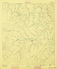
1885 · San Saba
USGS Topo · 1:125,000
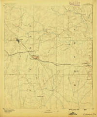
1887 · Coleman
USGS Topo · 1:125,000
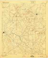
1889 · Brownwood
USGS Topo · 1:125,000
1889 · Coleman
USGS Topo · 1:125,000
1894 · Brady
USGS Topo · 1:125,000
1894 · Brownwood
USGS Topo · 1:125,000
1894 · San Saba
USGS Topo · 1:125,000
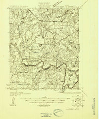
1925 · San Saba 2-a
USGS Topo · 1:48,000
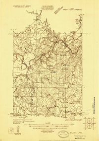
1925 · Brady 1-a
USGS Topo · 1:48,000
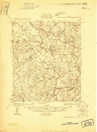
1925 · Brownwood 3-d
USGS Topo · 1:48,000