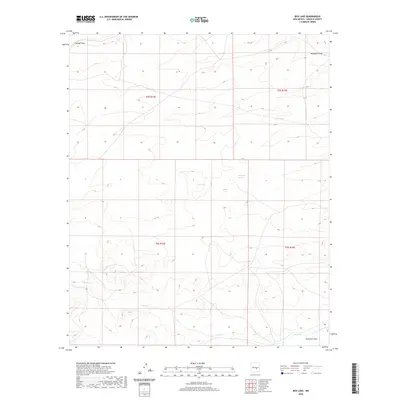
2020 Map of Box Lake
USGS Topo · Published 2020About this map
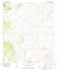
Box Lake and the surrounding drainage network of western Lincoln County define this arid landscape during the early 21st century. The map reveals a complex system of seasonal watercourses and ephemeral basins, with Patos Cr and Arroyo del Macho carving through the terrain in the southern sections. This territory is marked by significant topographical variation, where the high country is split by deep incisions like Lavade Draw and Hogadero Draw. The presence of several distinct catchment areas, including the isolated Horse-lake and the Pedernal Arroyo, highlights the critical role of water management and natural drainage in this high-elevation region. Public Land Survey System boundaries for t5s r14e and t6s r15e indicate the organized grid of land division that overlays this open New Mexico rangeland, providing a clear reference for local land history and property boundaries.
Find a feature on this map
12 named features on this map. Tap any name to fly to it.
Don’t see what you’re looking for? This feature index may not catch every label — zoom into the map to look around manually.
Map Details
Editions of this 2020 Box Lake Map
This is the sole edition of this map. No revisions or reprints were ever made.
Other maps of this area
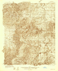
1934 · Capitan
USGS Topo · 1:48,000
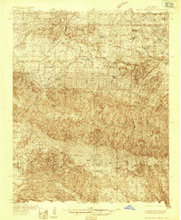
1935 · Capitan Mountains
USGS Topo · 1:48,000
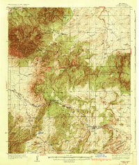
1937 · Capitan
USGS Topo · 1:62,500
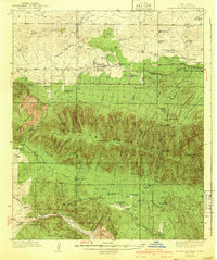
1940 · Capitan Mountains
USGS Topo · 1:62,500

1955 · Roswell
USGS Topo · 1:250,000

1958 · Roswell
USGS Topo · 1:250,000
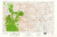
1962 · Roswell
USGS Topo · 1:250,000
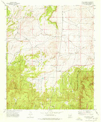
1973 · Jacob Spring
USGS Topo · 1:24,000
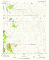
1973 · Chupadero Mountain
USGS Topo · 1:24,000
1973 · Jicarilla Peak
USGS Topo · 1:24,000